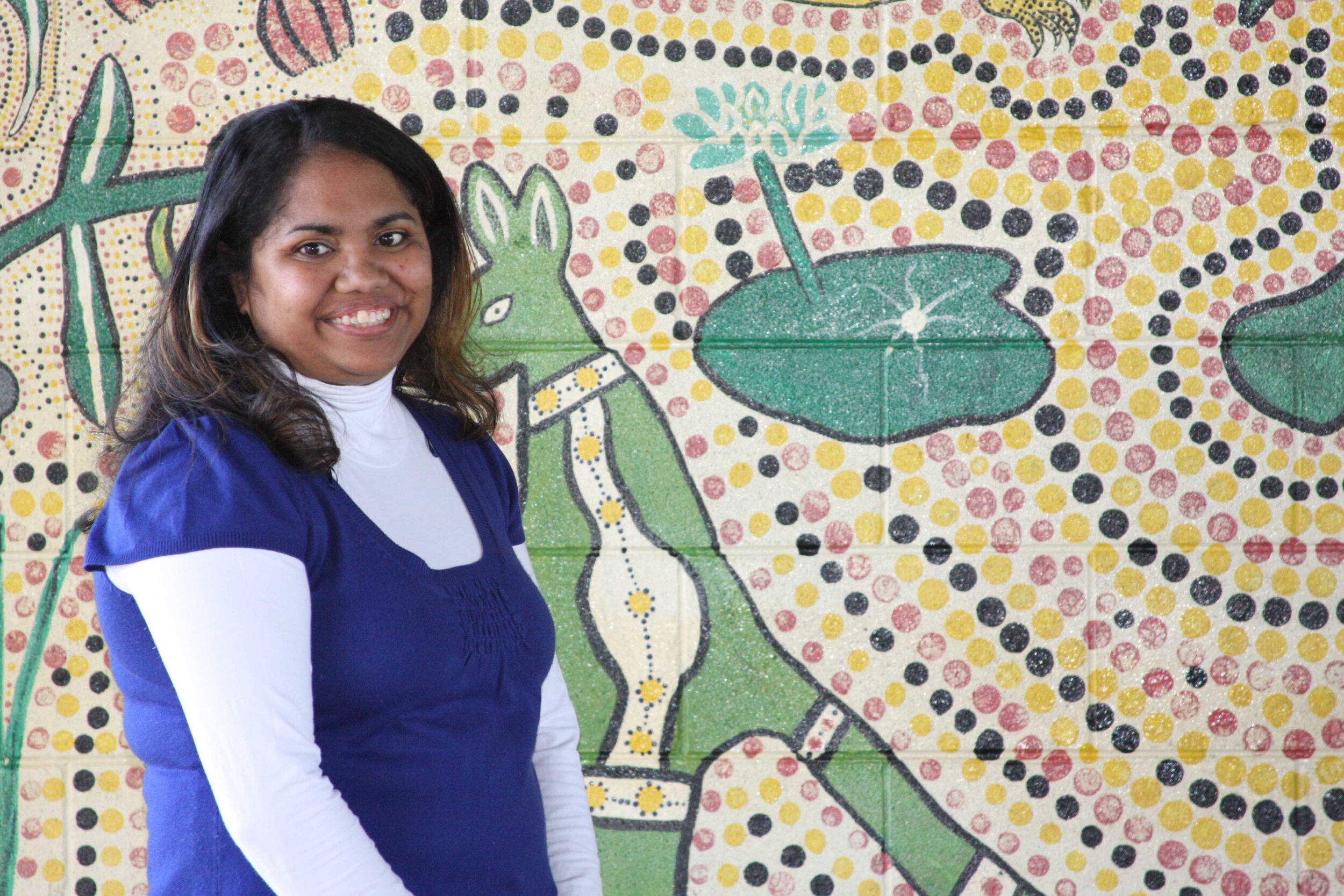
Gugu Badhun Country
Located in North Queensland, about 200 kilometres northwest of Townsville, Gugu Badhun lands encompass the upper parts of the Burdekin River and its catchment. The river here is often called the ‘black Burdekin’, a reference to the colour of the basalt rock that dominates the district. To the east lie the Seaview and Gorge Ranges, whose tall peaks capture the plentiful rain that feeds the headwaters of the Burdekin system.
Nowhere do Gugu Badhun lands touch the coast, though they do come to within fifty kilometres. To the north, the land becomes steadily higher, merging into the Evelyn Tablelands, while to the south the elevation becomes lower as the Burdekin begins its looping course to the sea. Westward lies the Great Dividing Range and the landscape becomes progressively drier in that direction. An approximation of the extent of Gugu Badhun lands is shown in the map (pictured), clearly illustrating its correlation with the upper catchment of the Burdekin system. (Extract from James, Cadet-James, McGinty, McGregor 2016).
Native Title

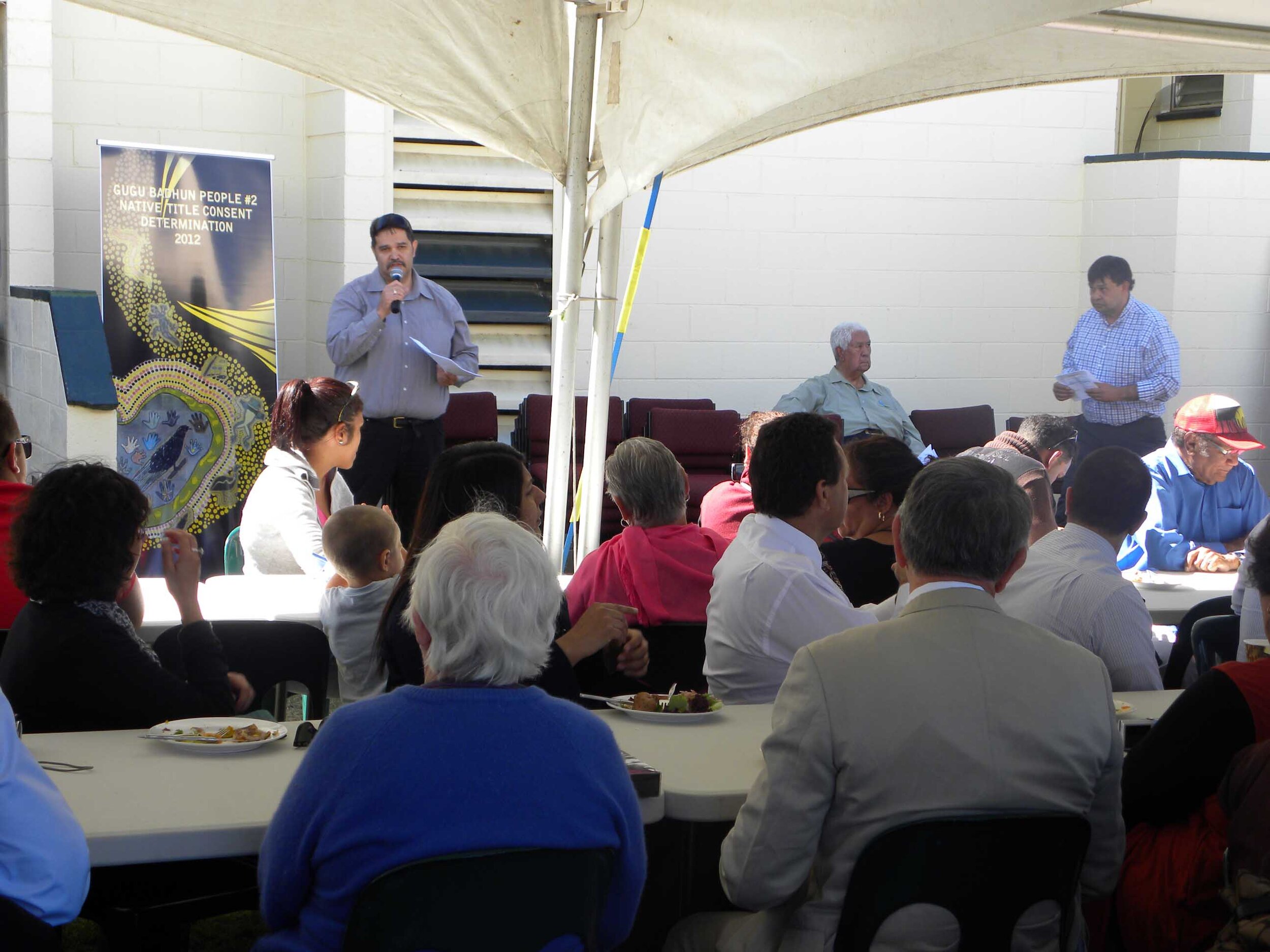
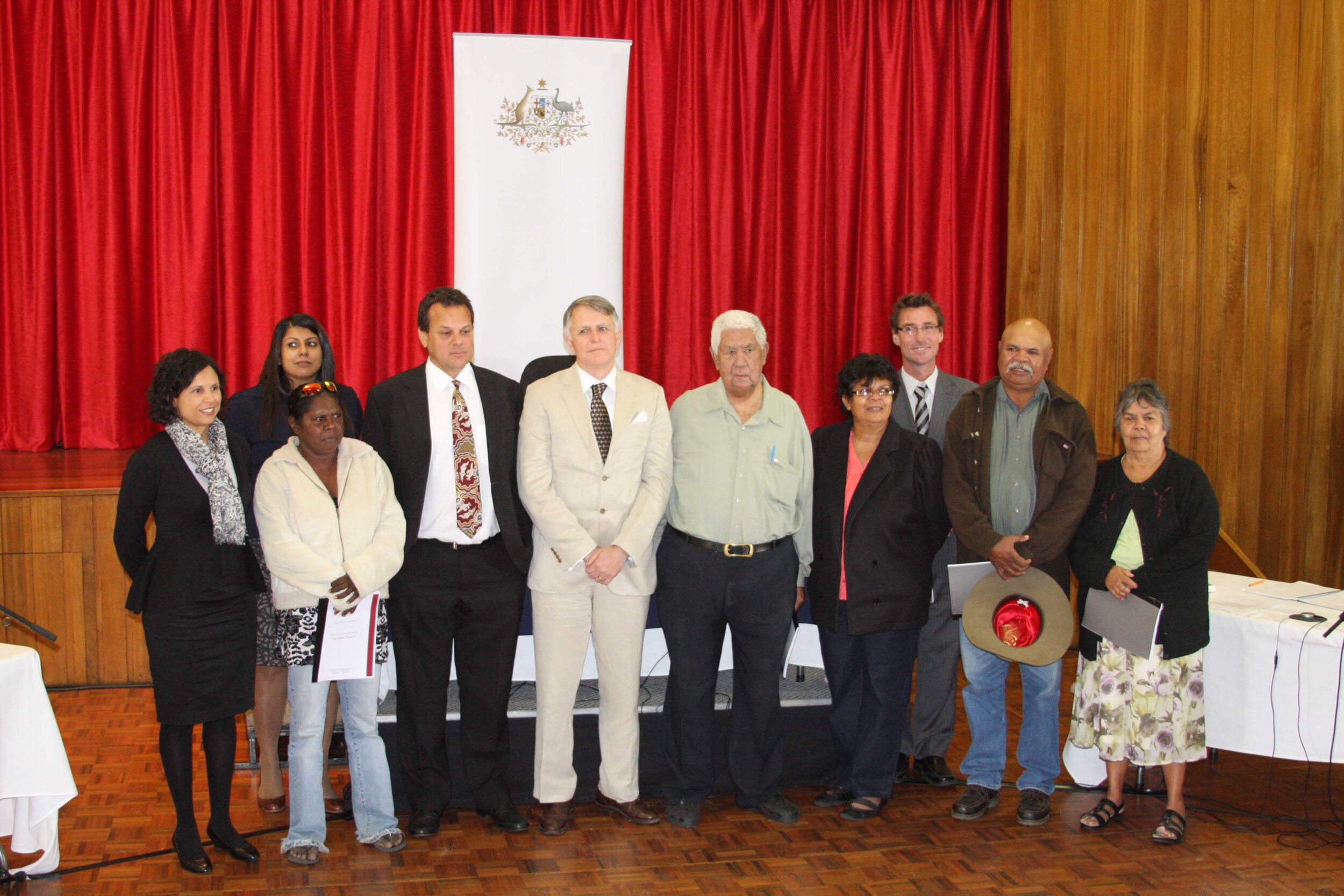
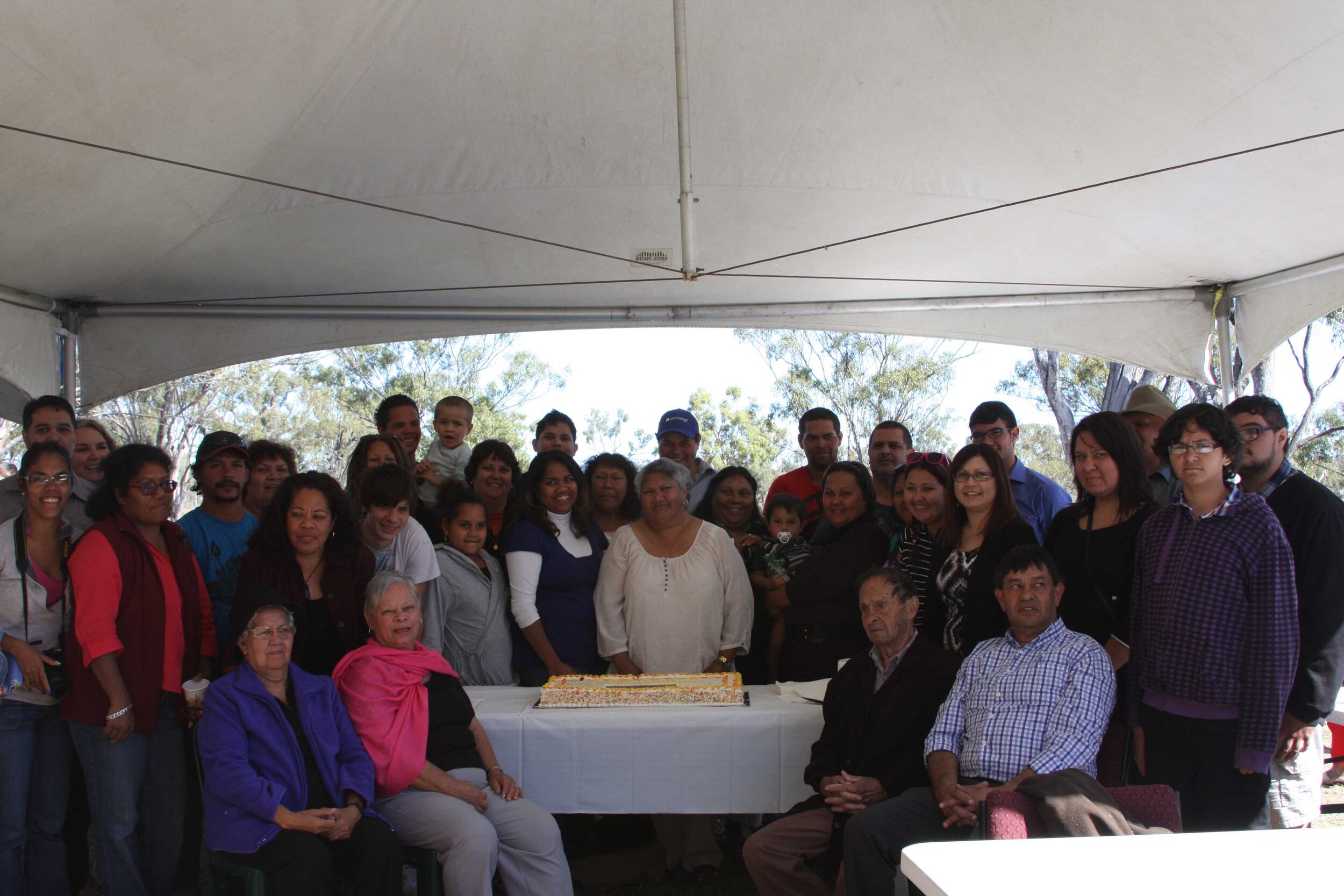
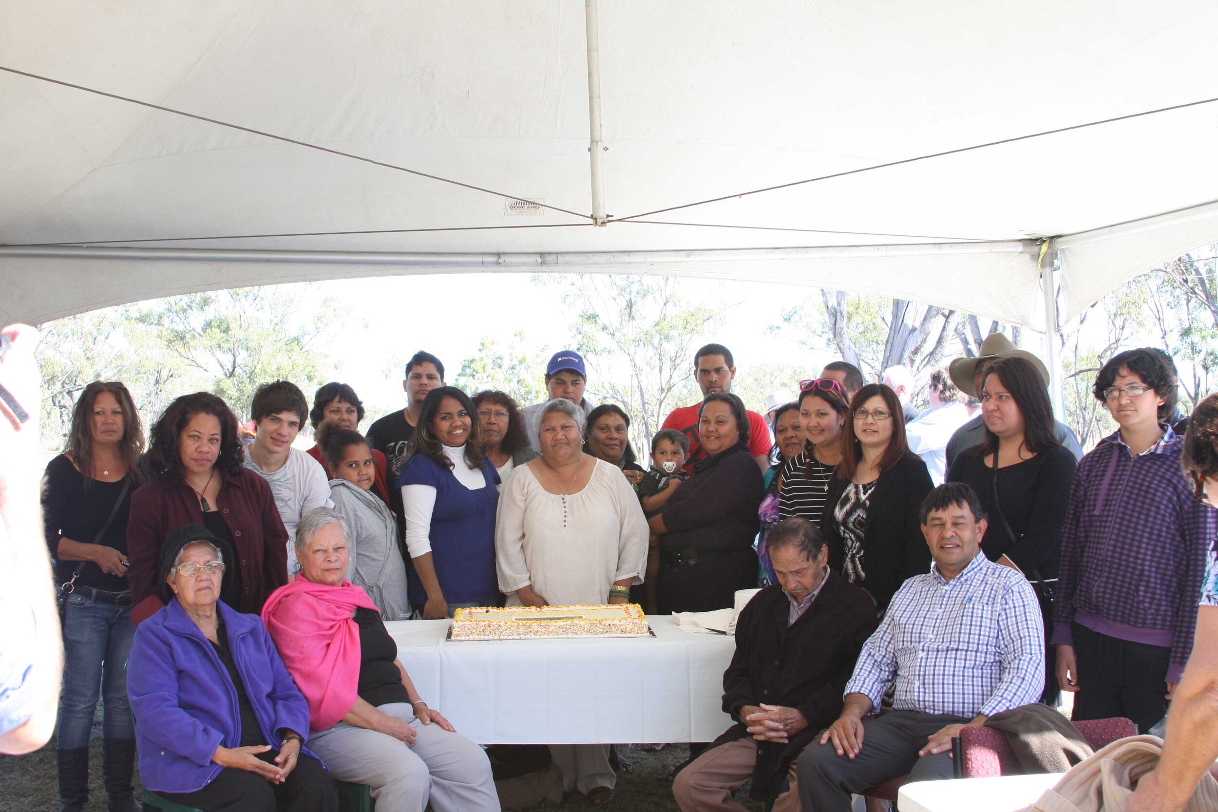
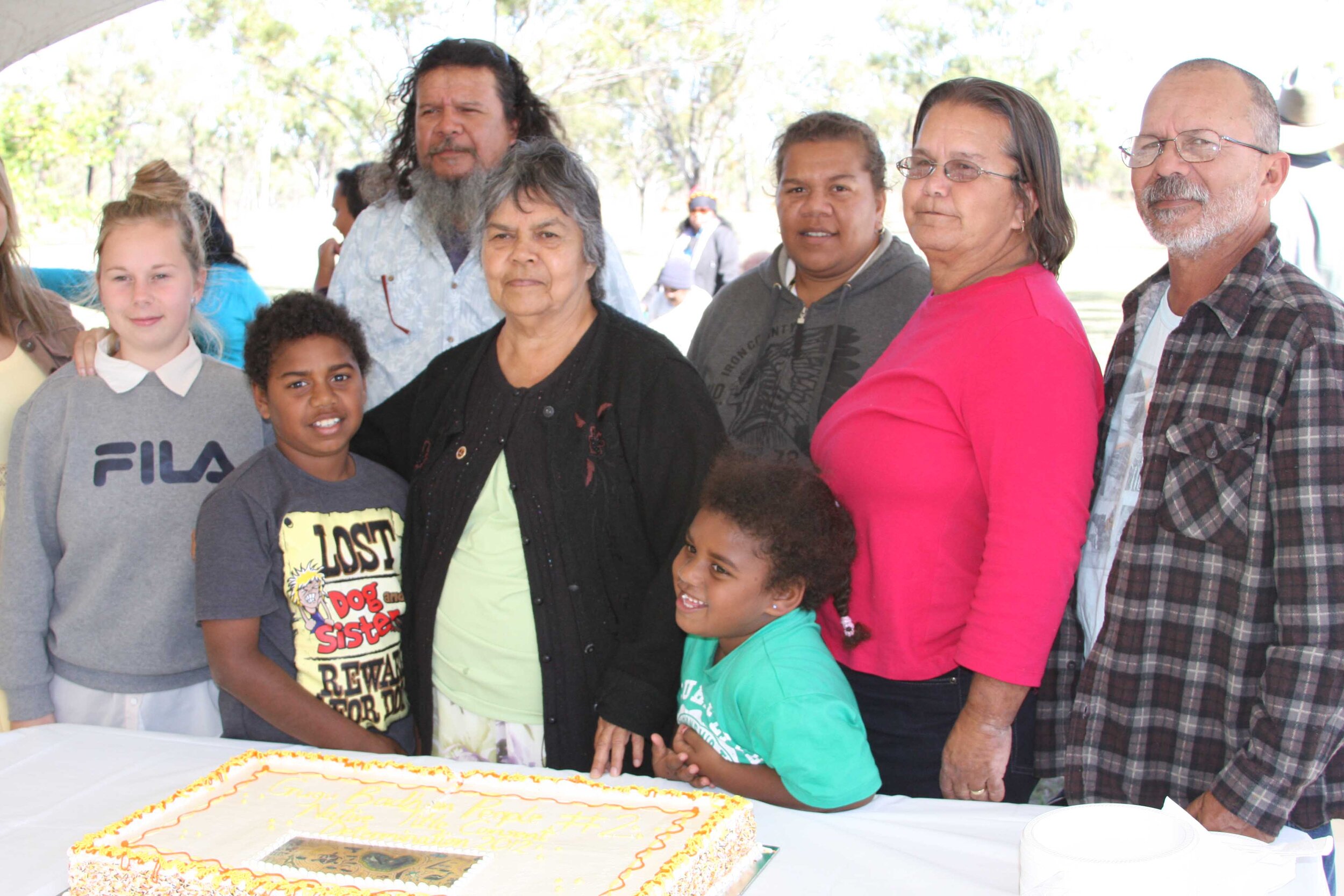
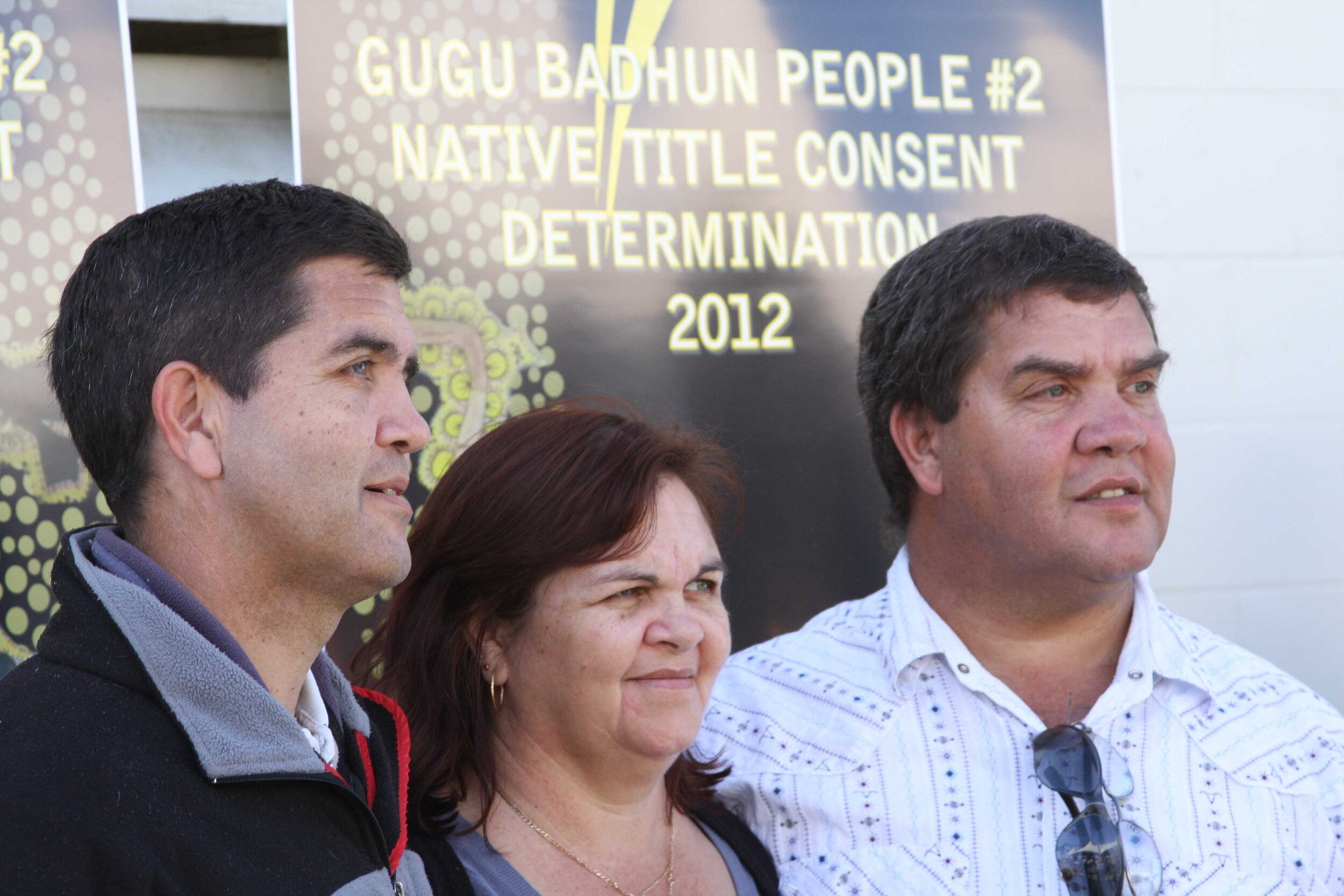
The Gugu Badhun People #2 native title determination application (claim) was lodged in 2005 and covered an area of approximately 6,540 km2. On 1st August 2012, the Federal Court of Australia determined that native title continued to exist within parts of the claim area and that the Gugu Badhun People held both exclusive rights and interests and non-exclusive rights and interests over the land within the claim area.

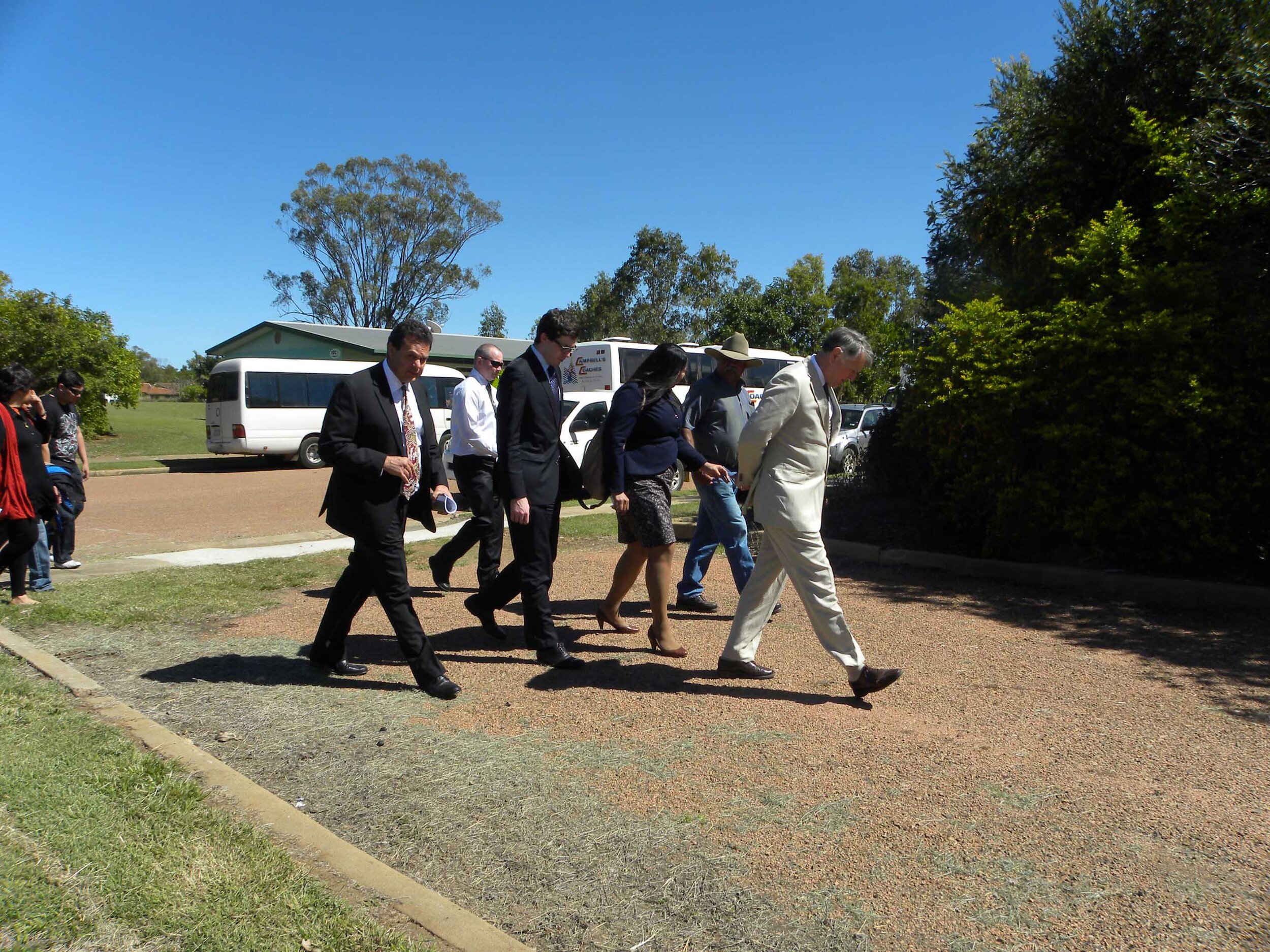
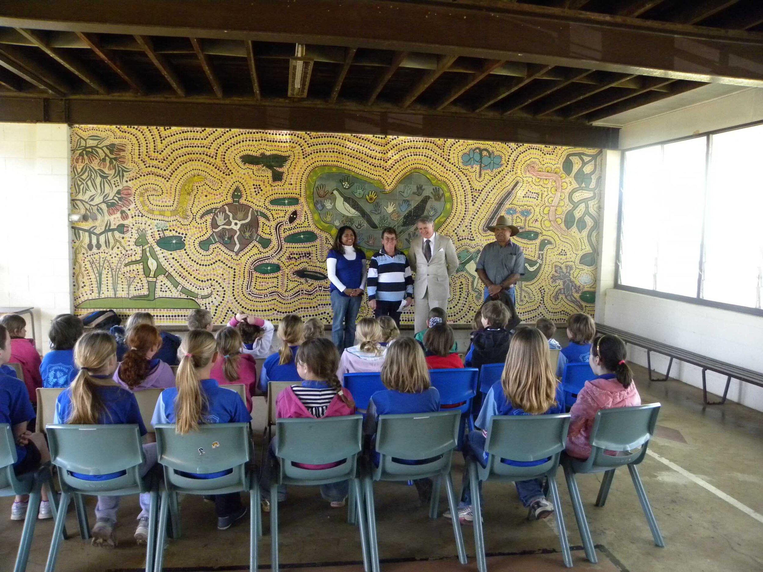
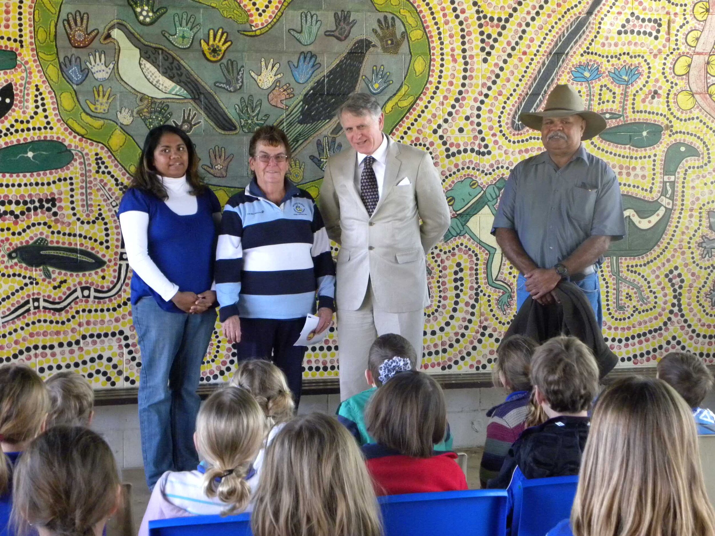
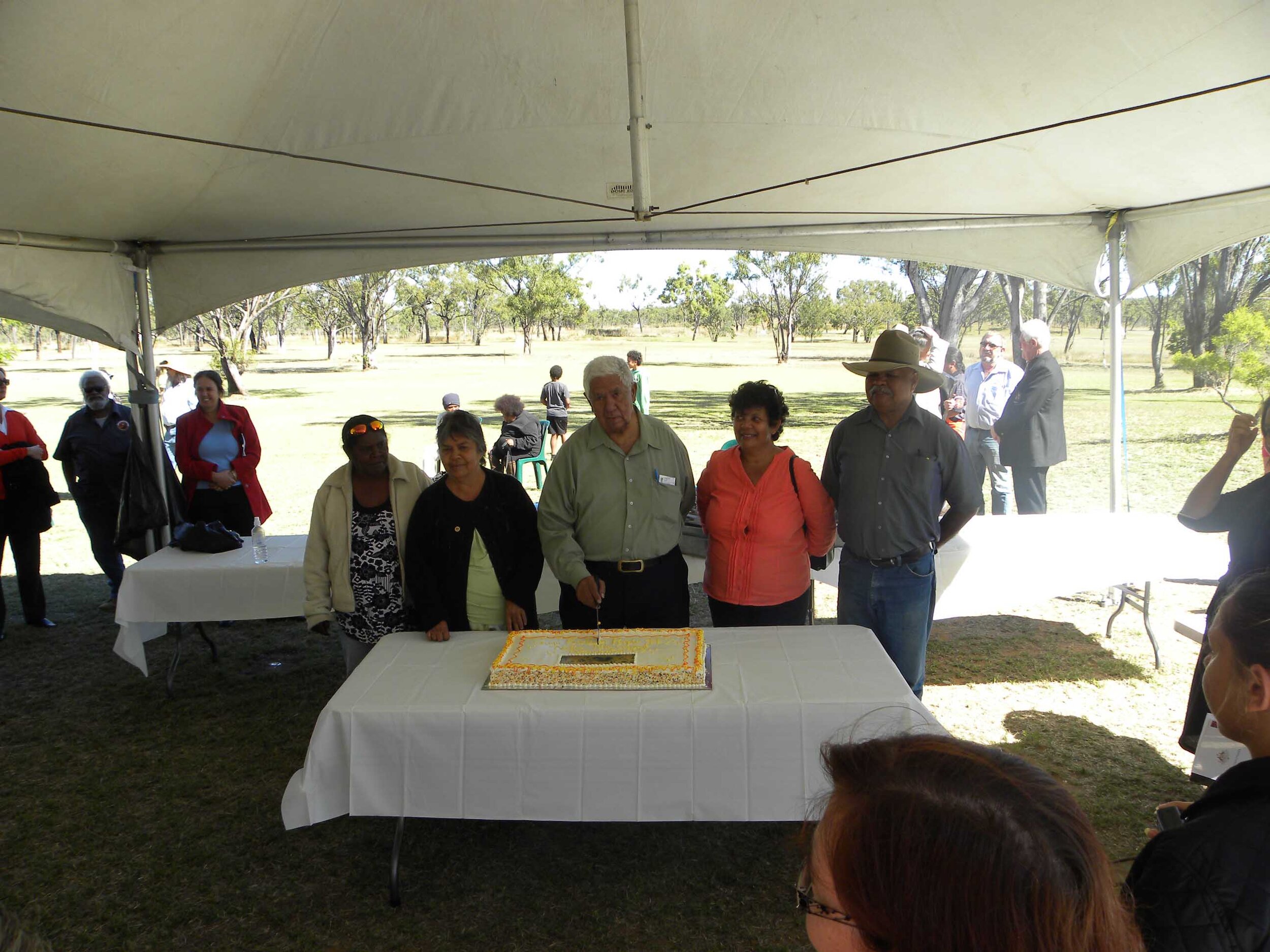
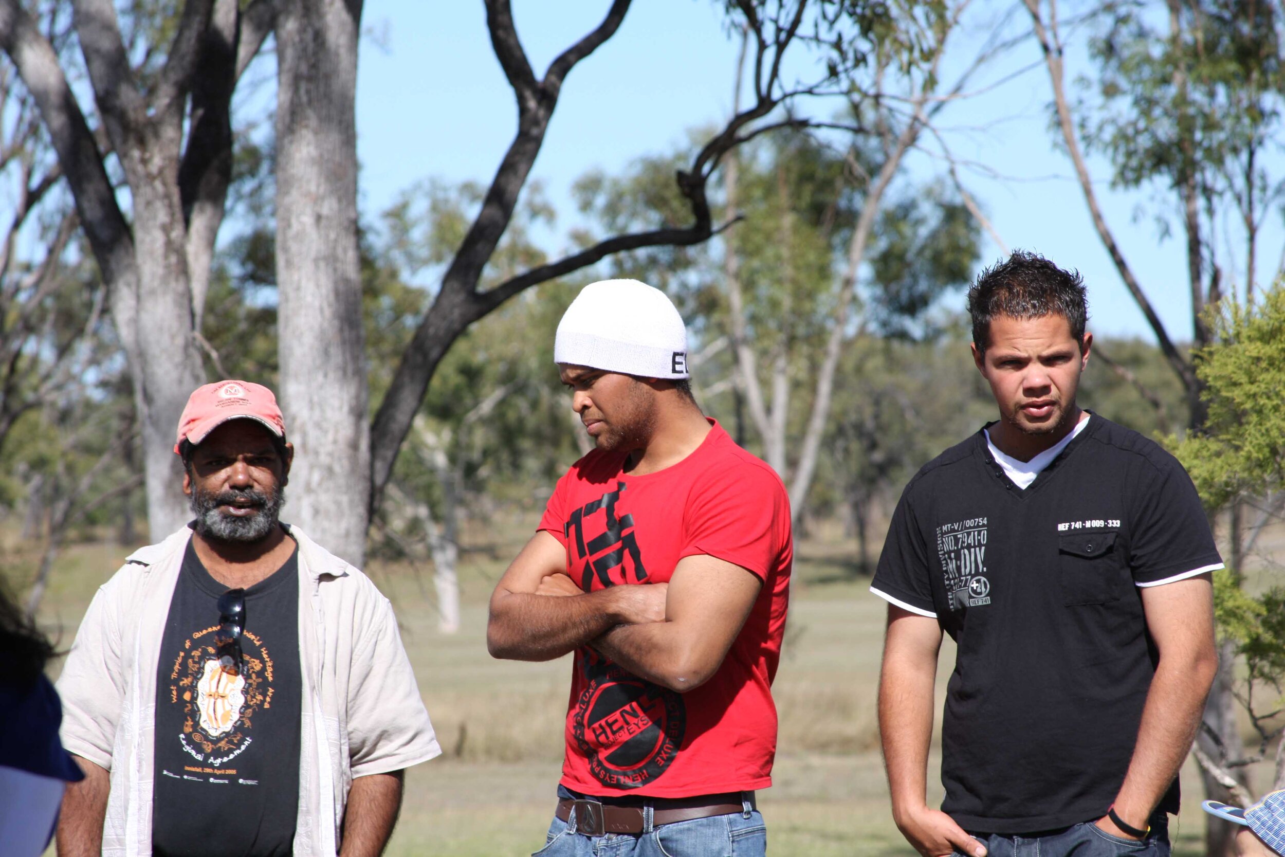
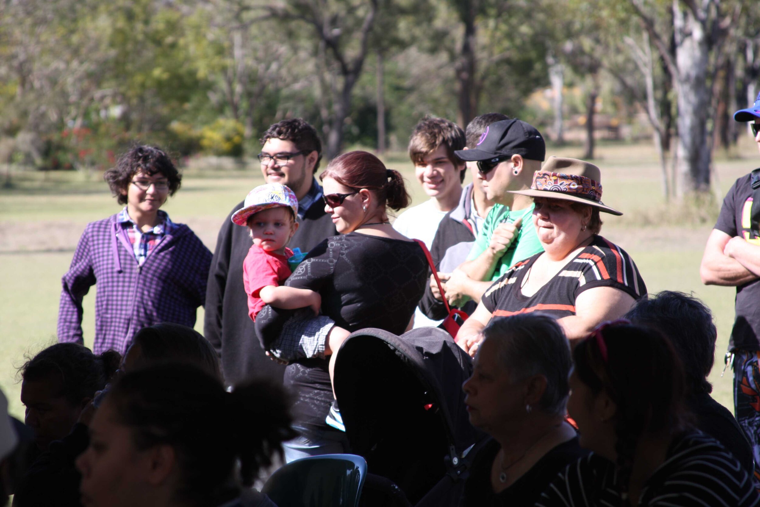
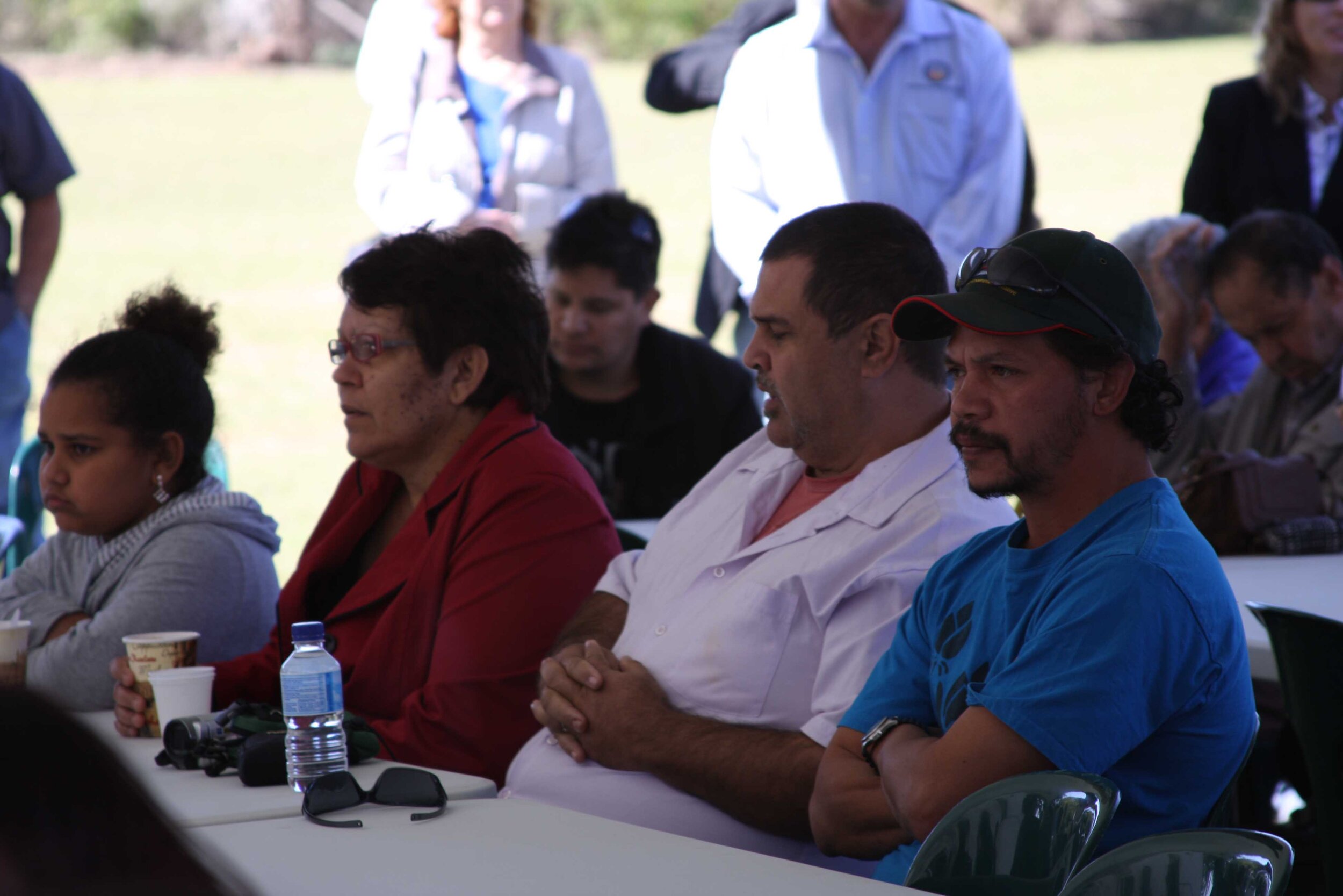
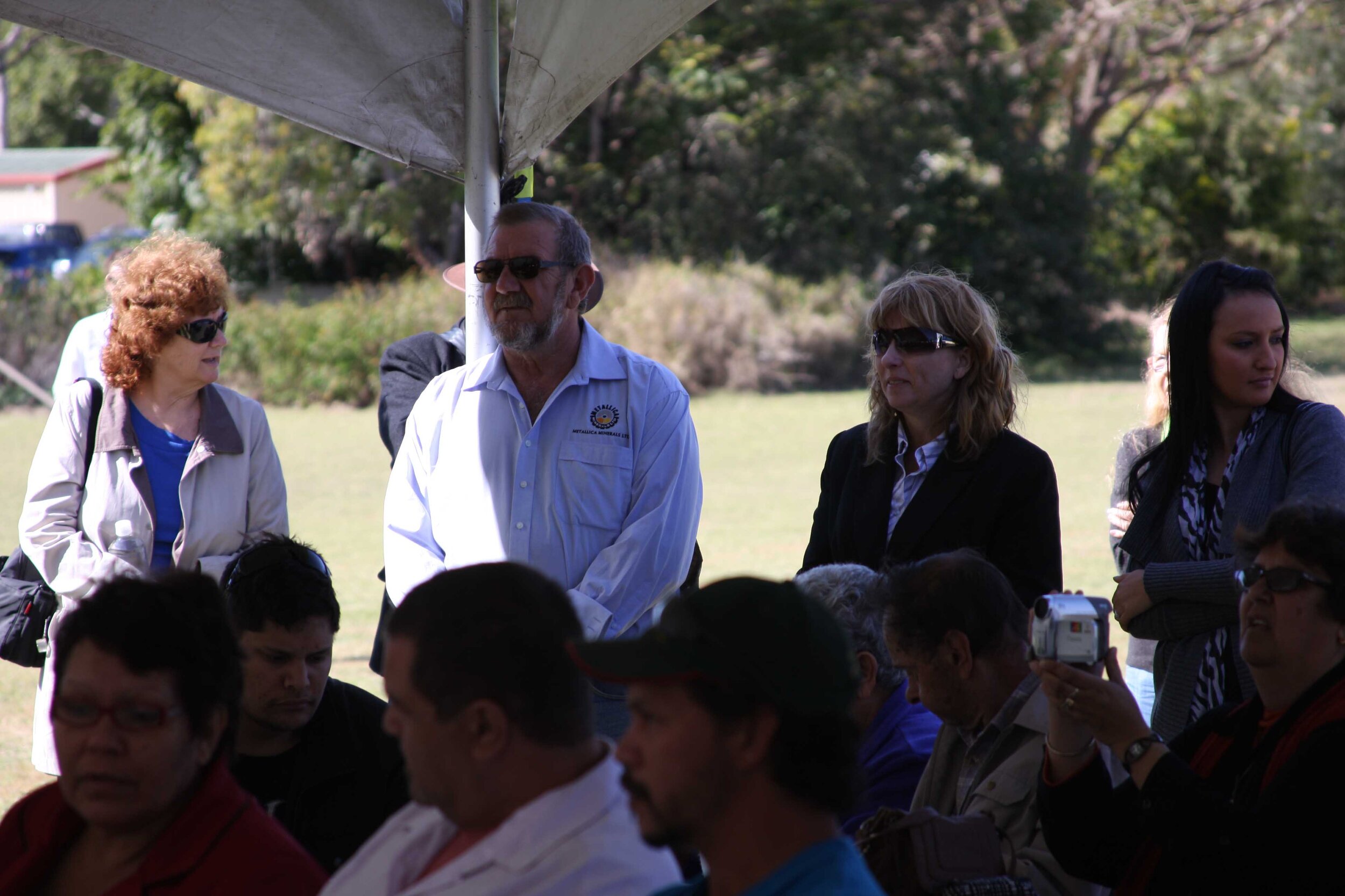
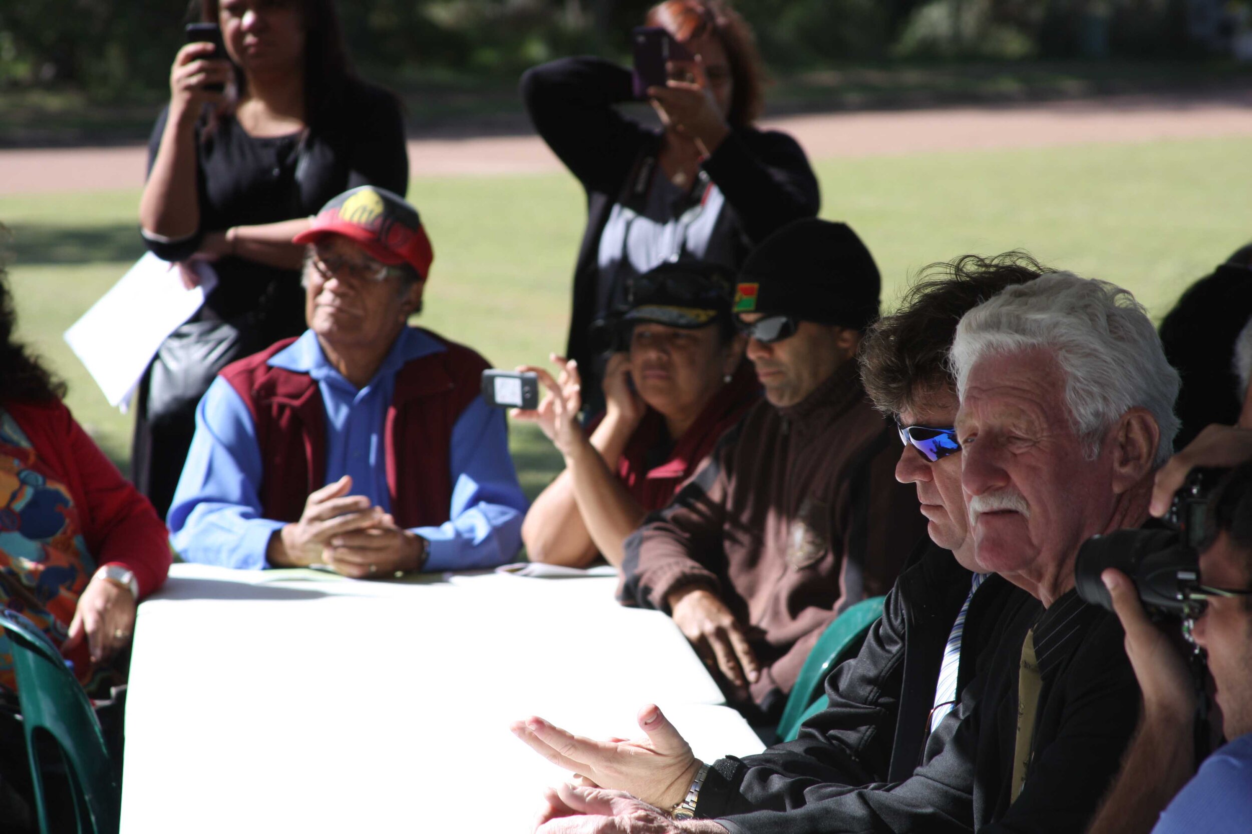
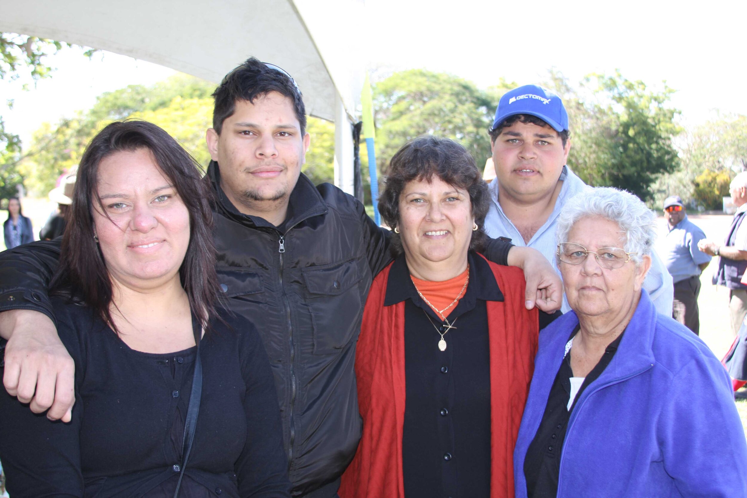
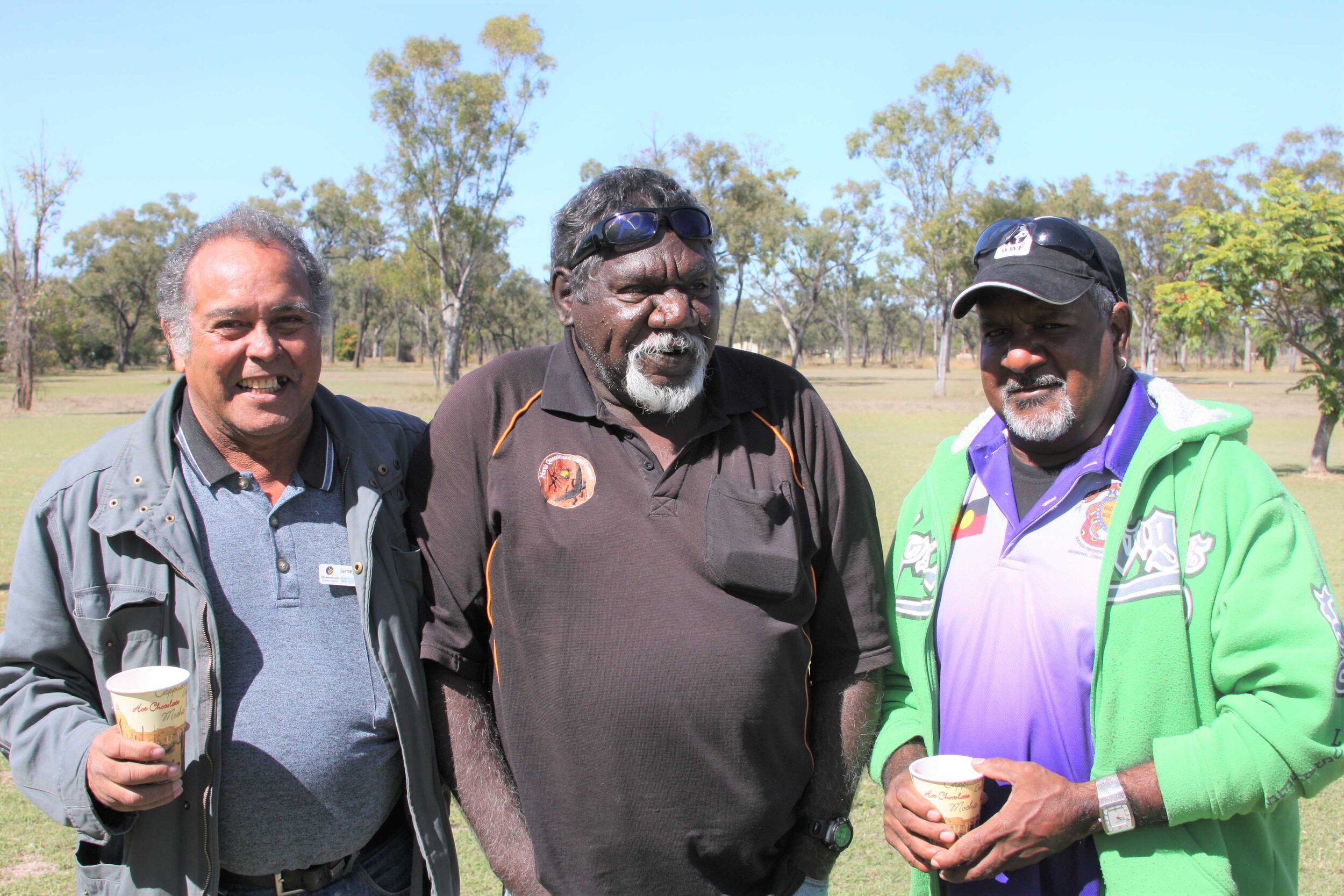
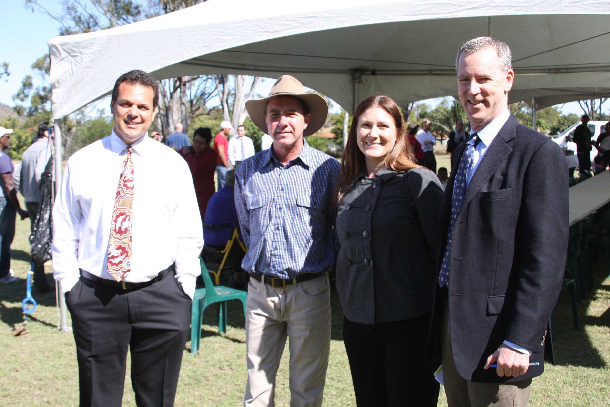
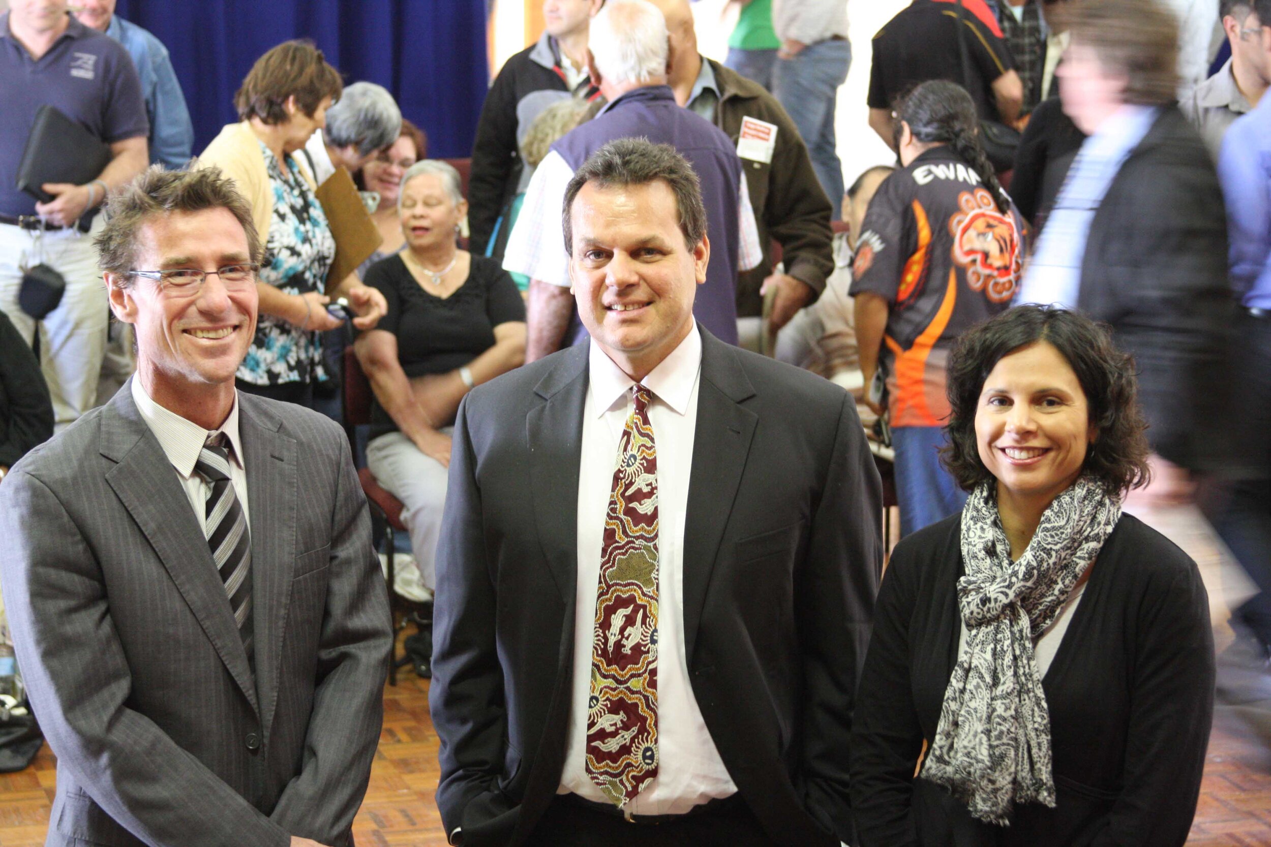
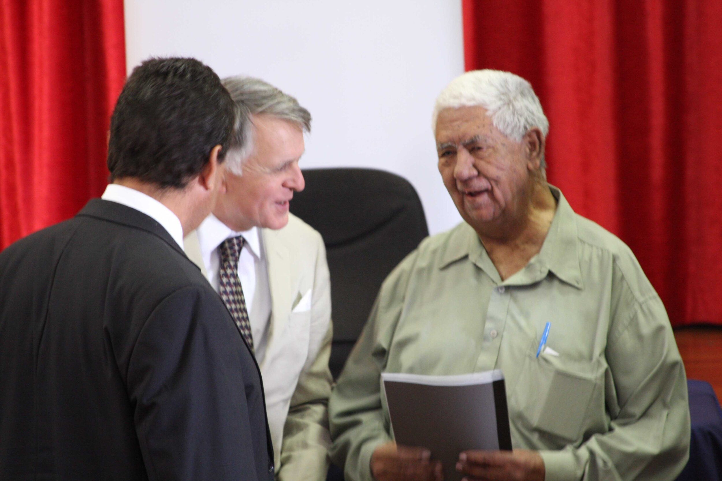
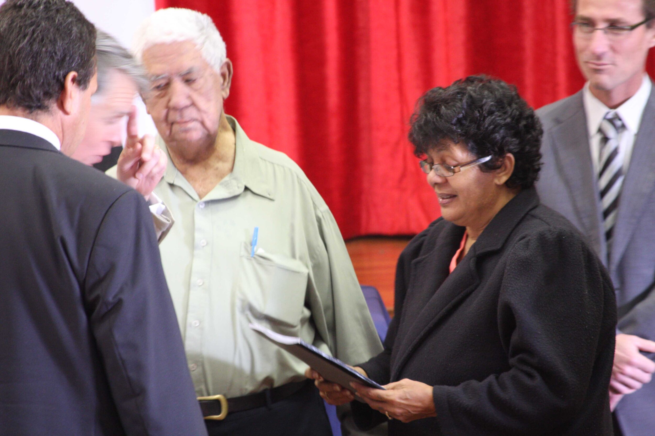
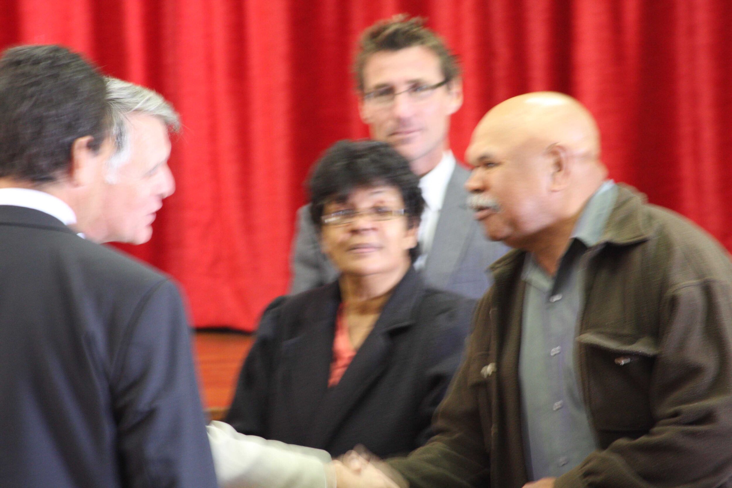
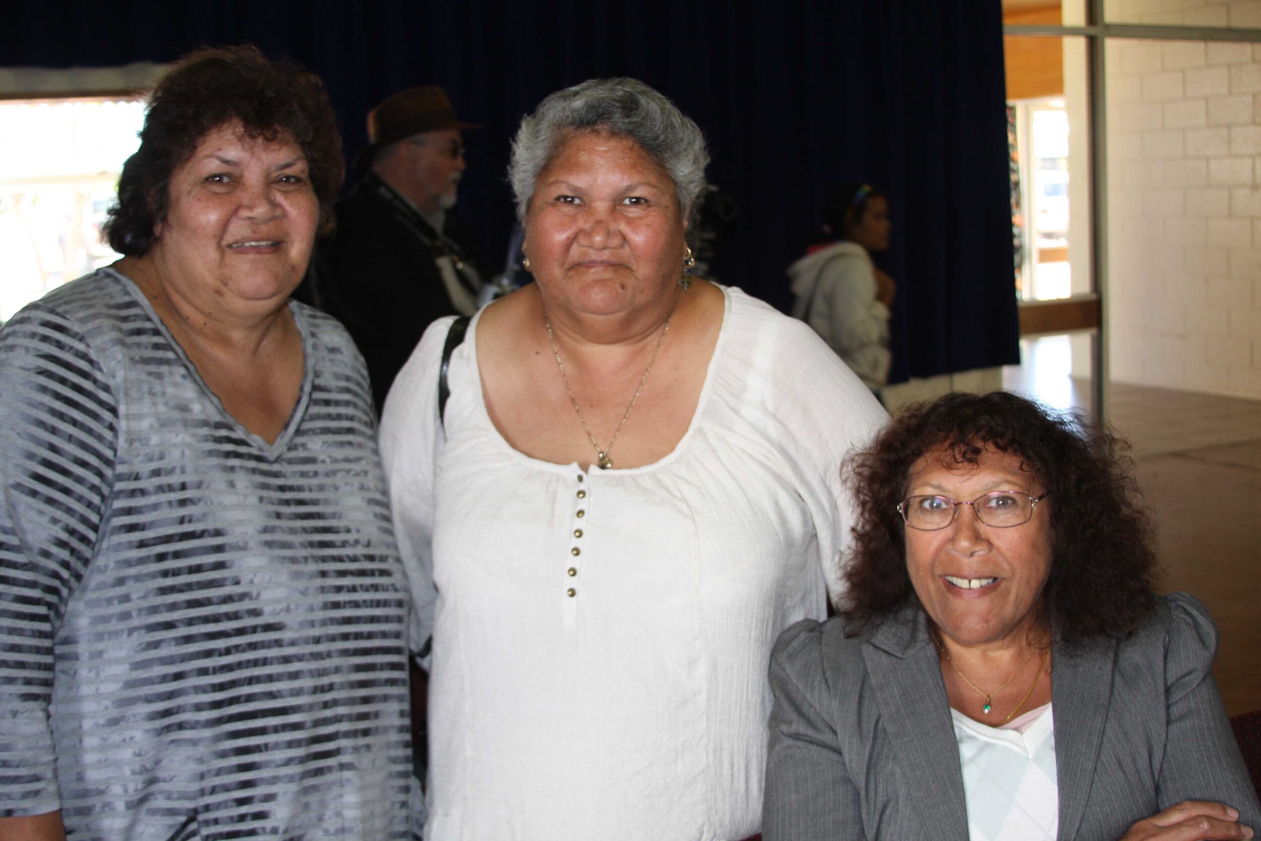
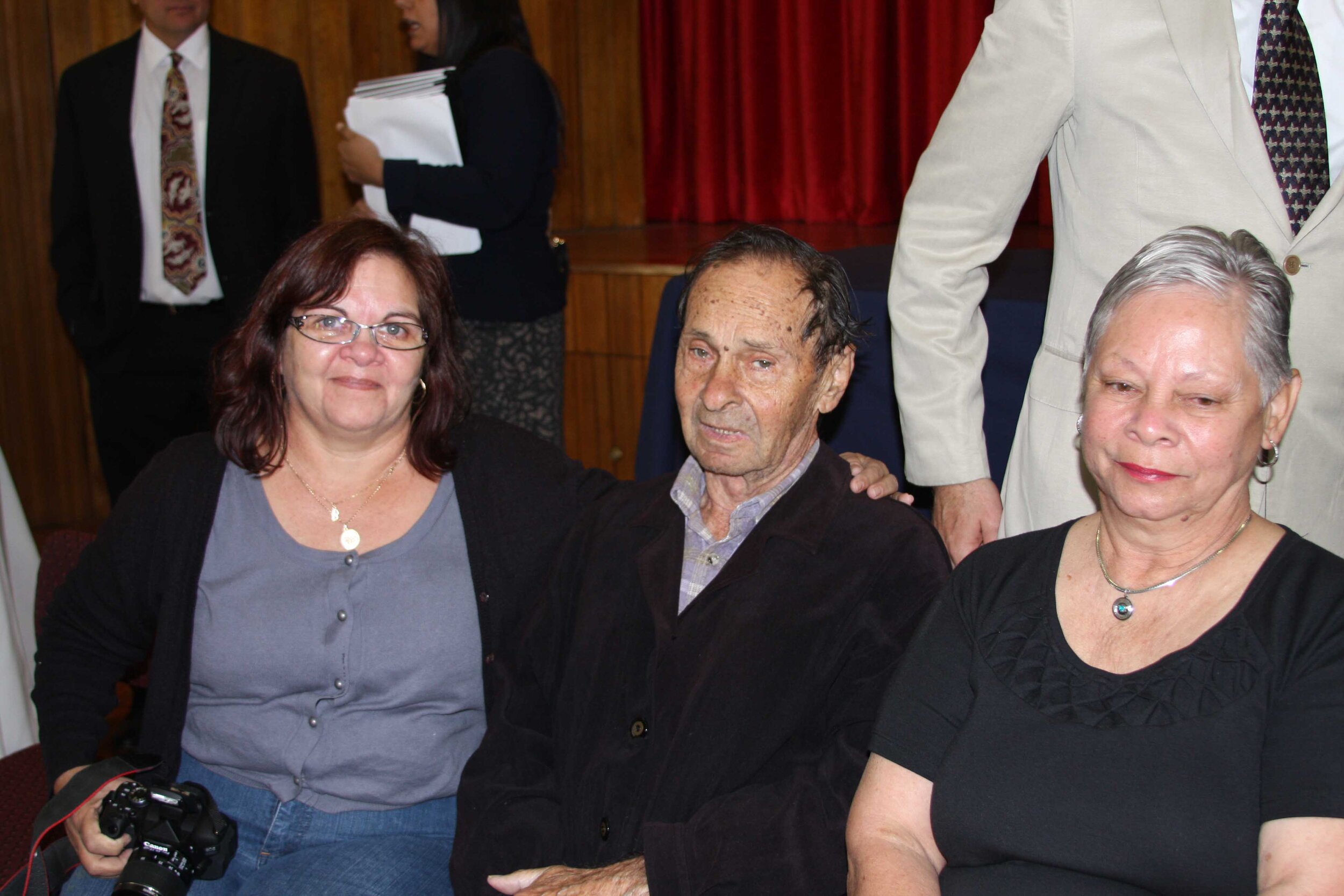
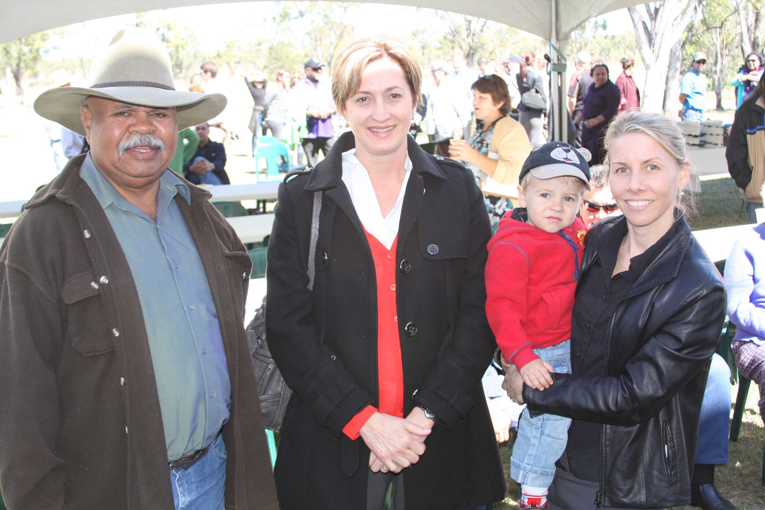
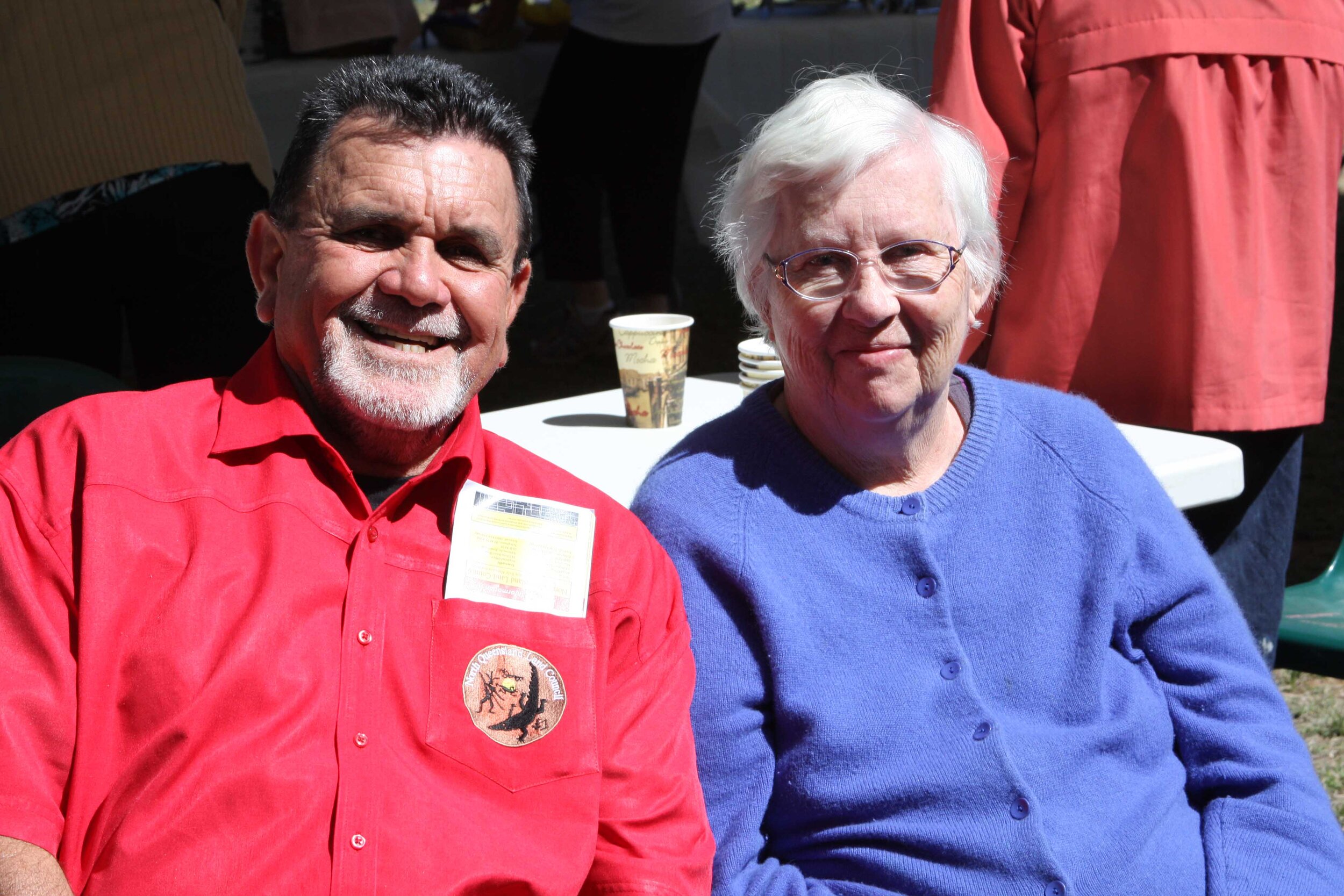
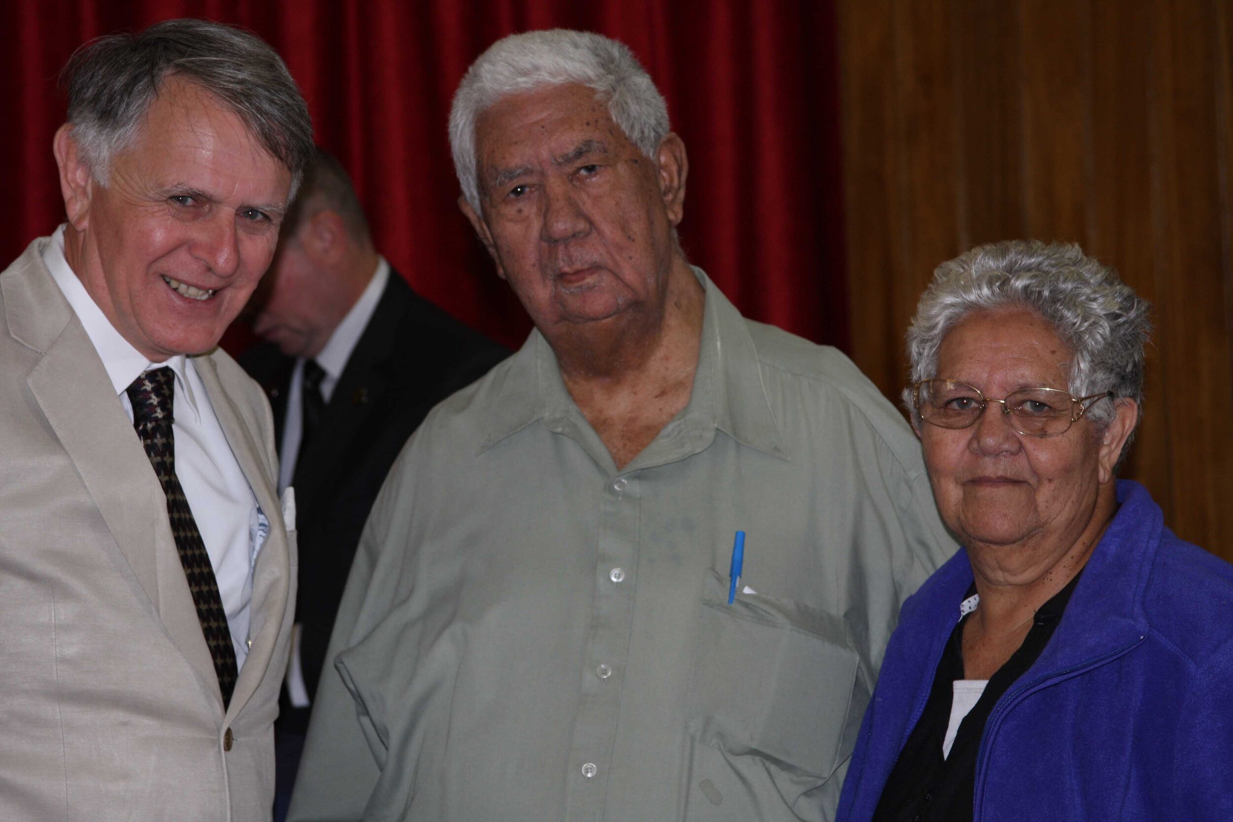
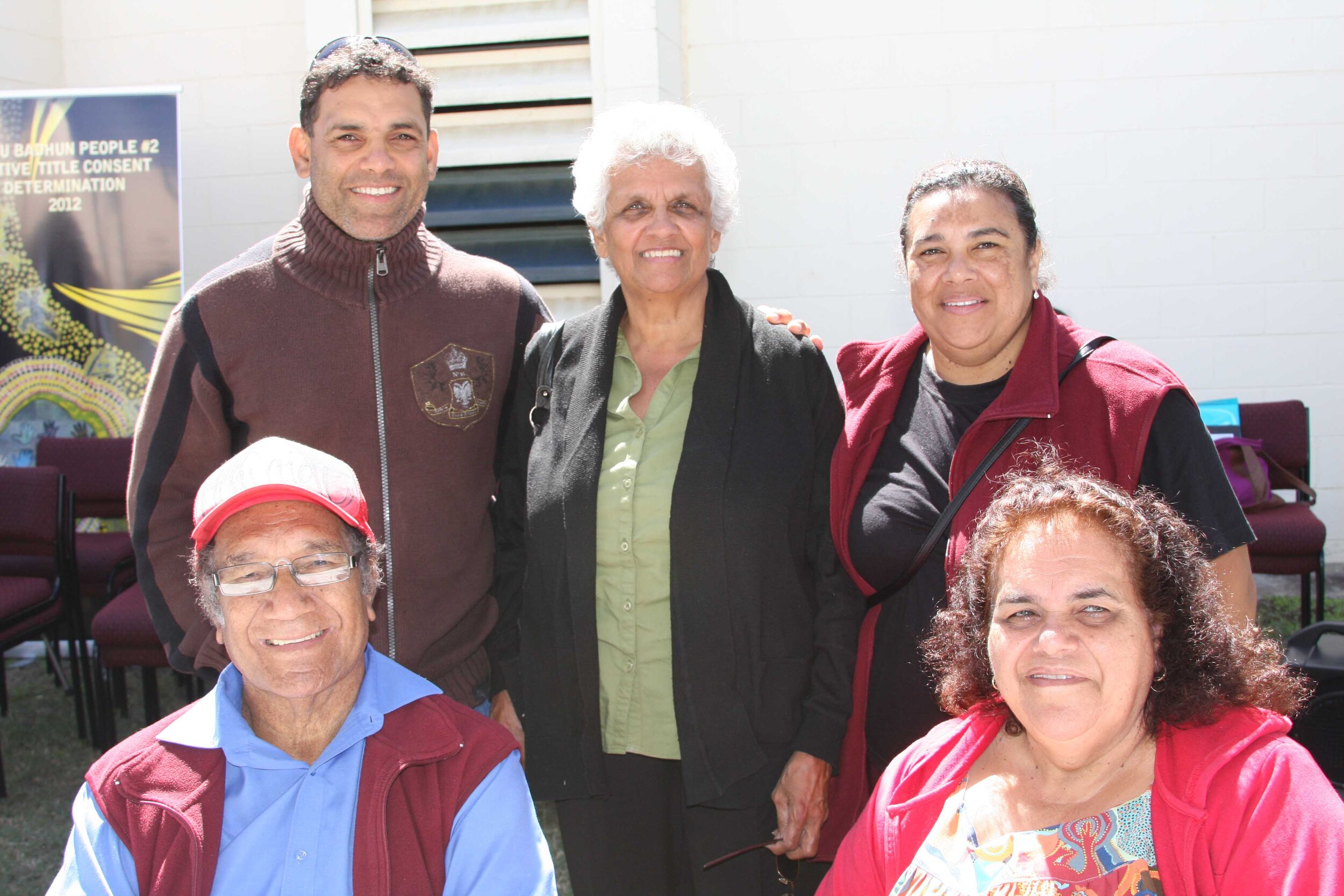
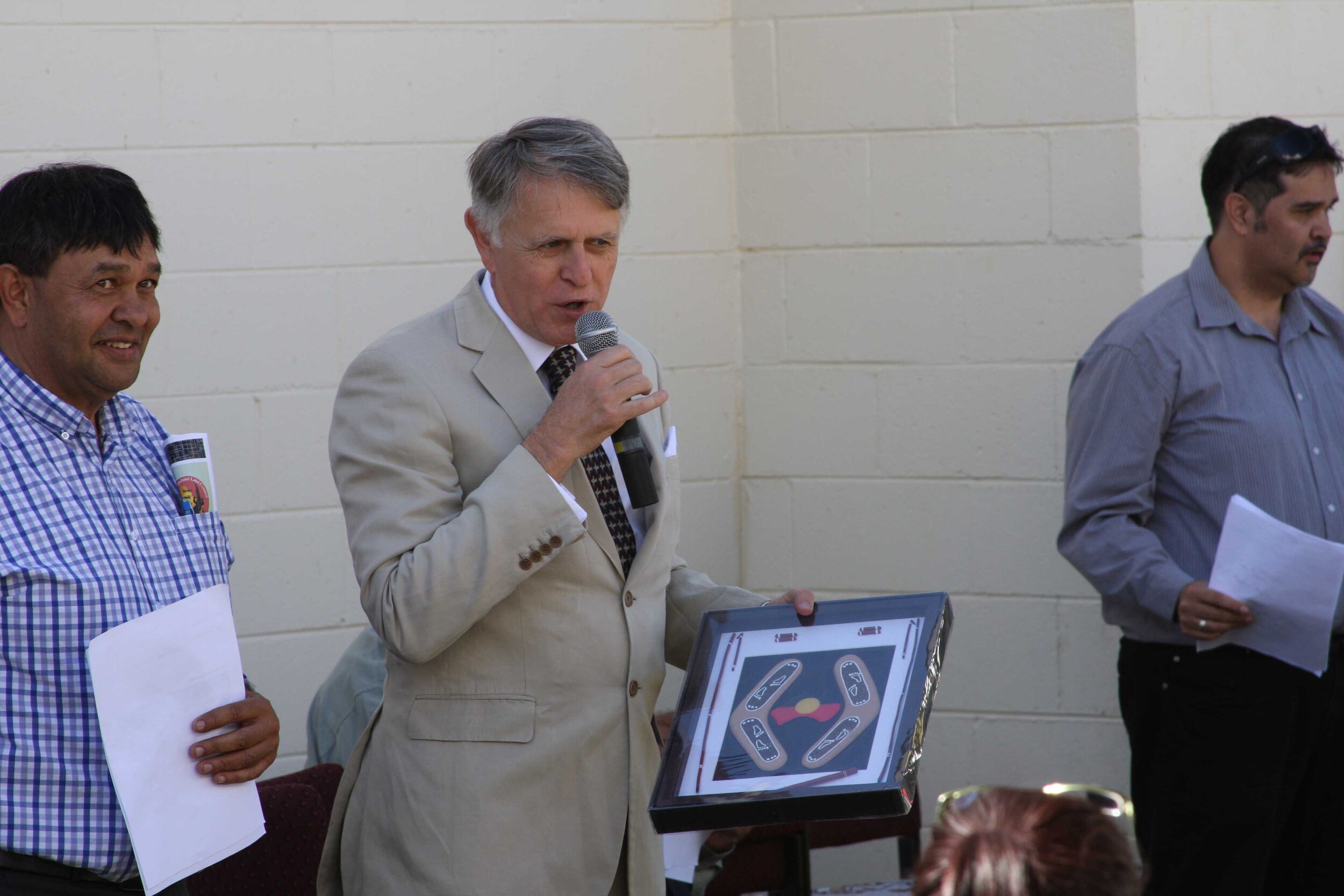
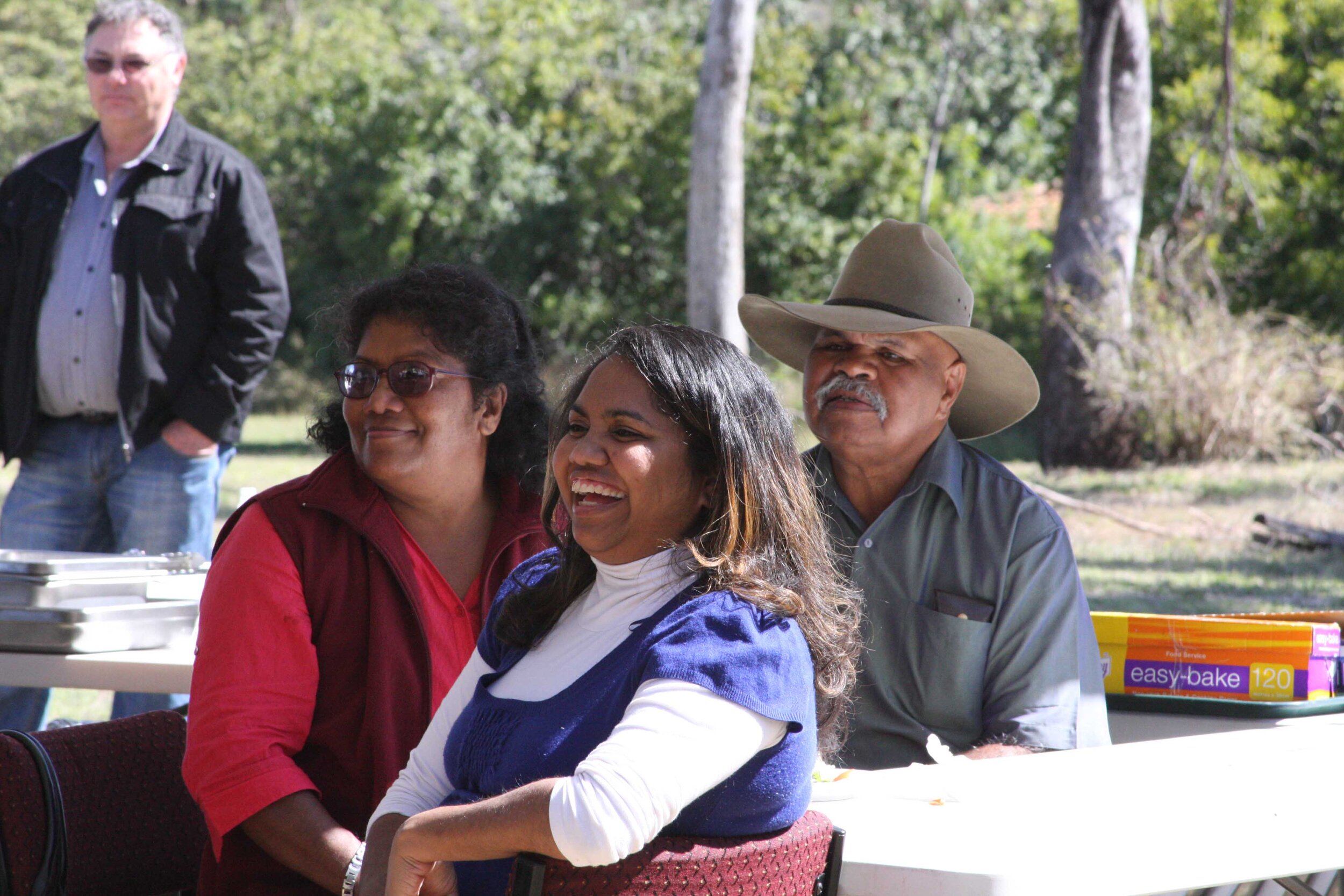
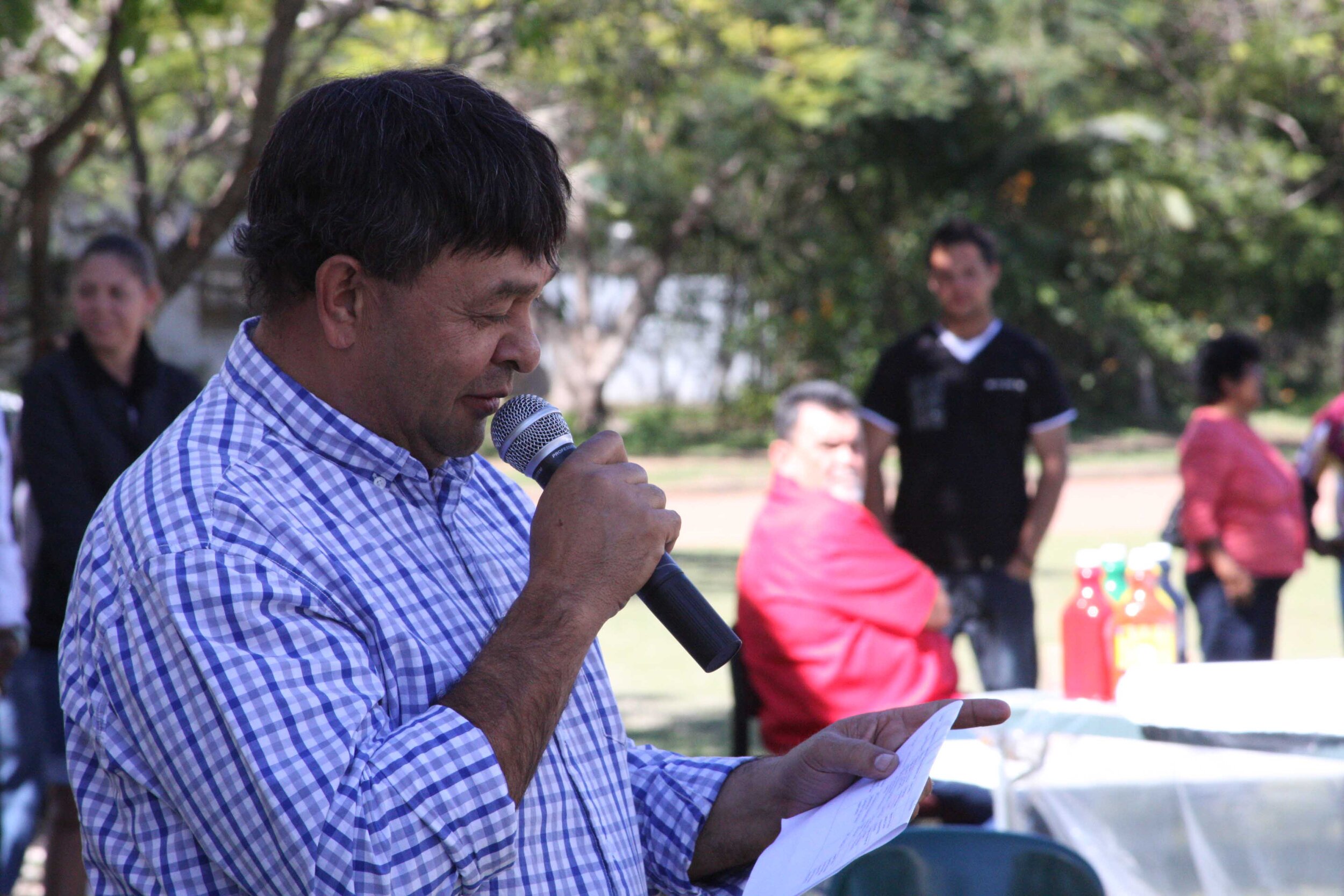
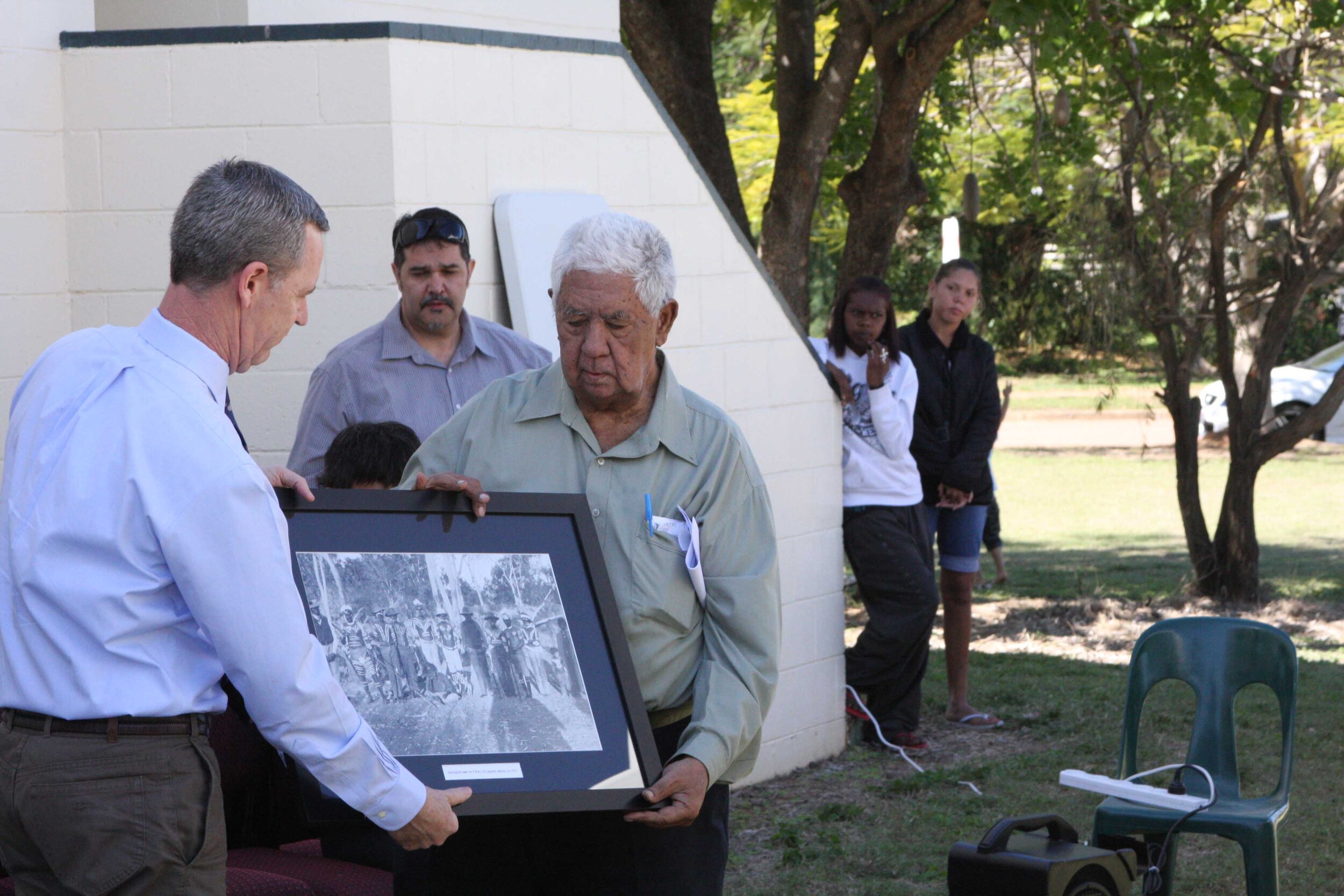
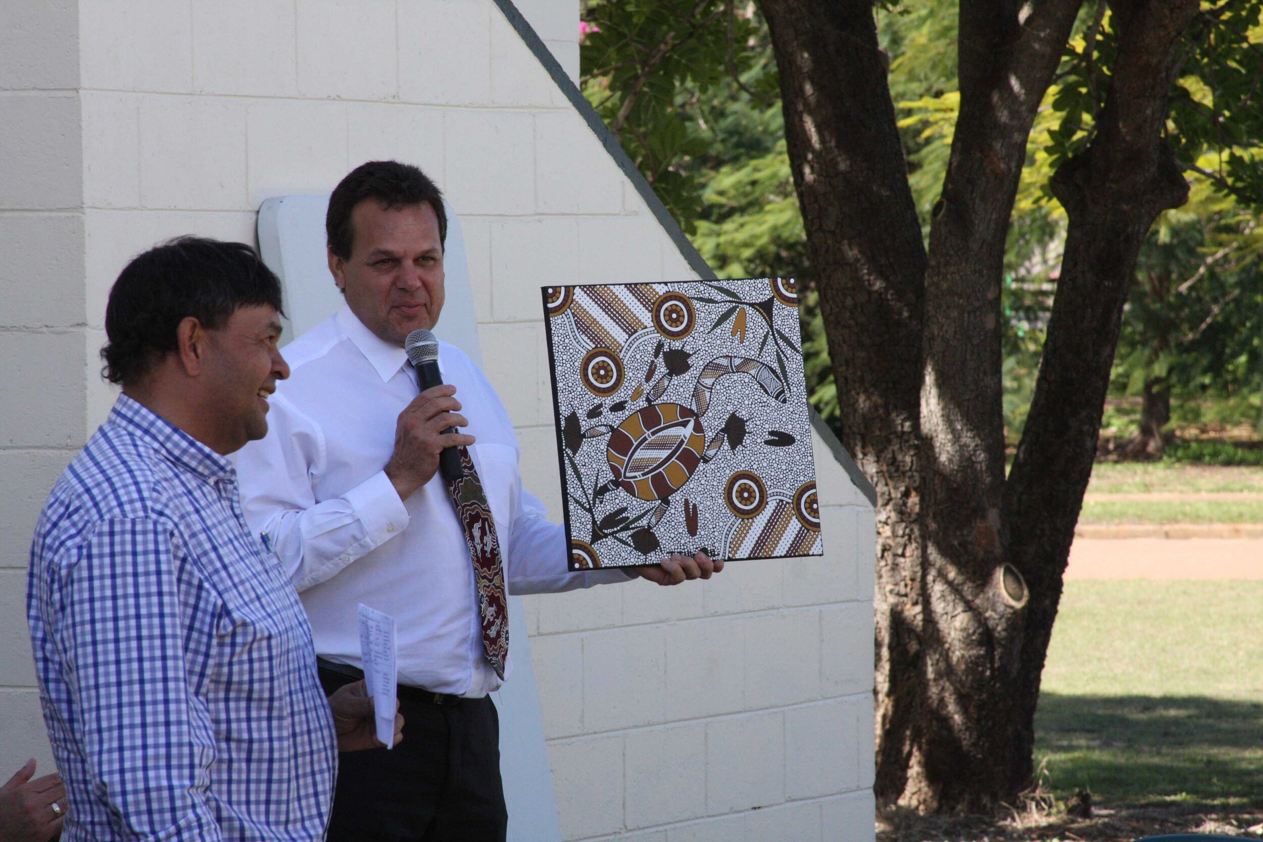
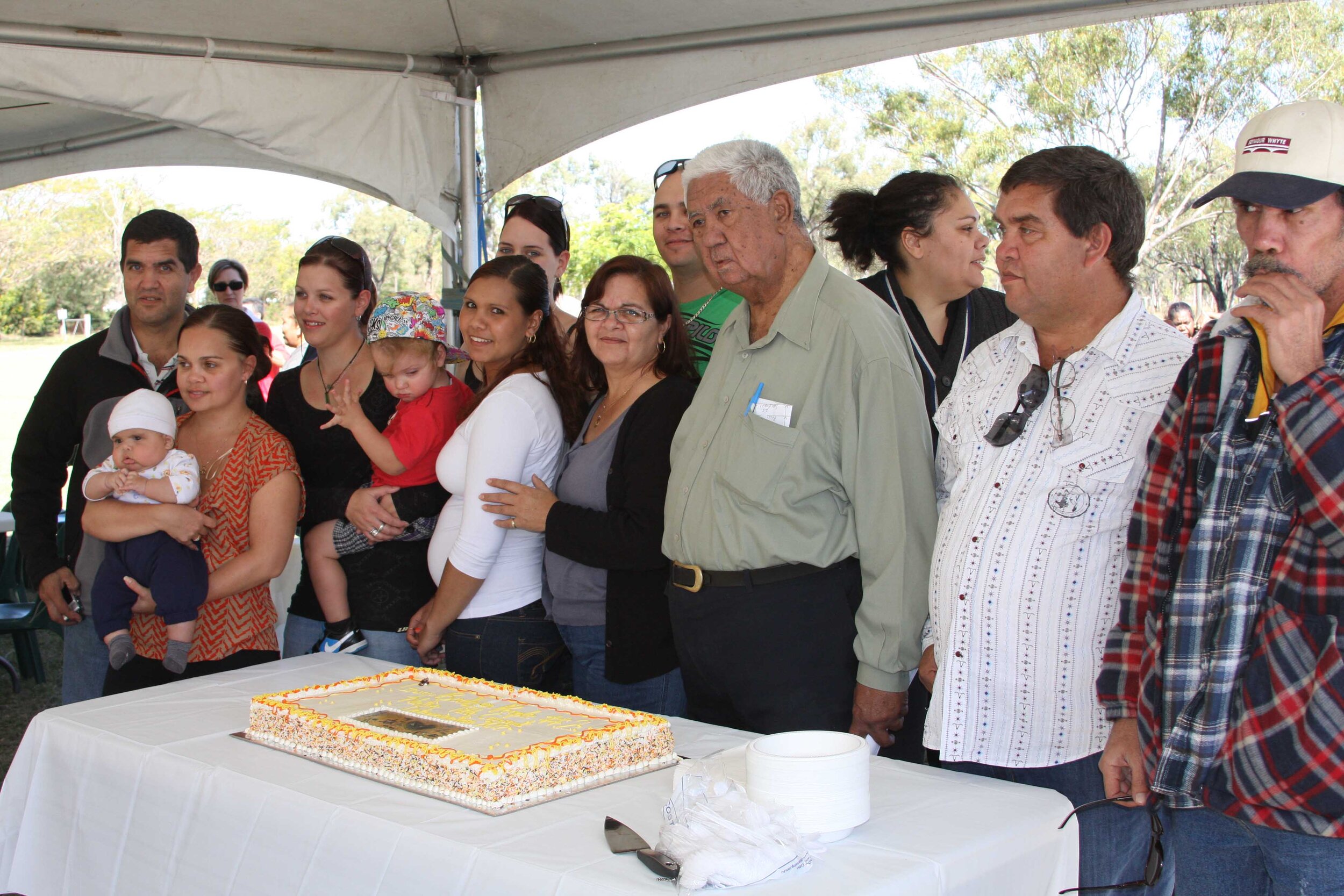
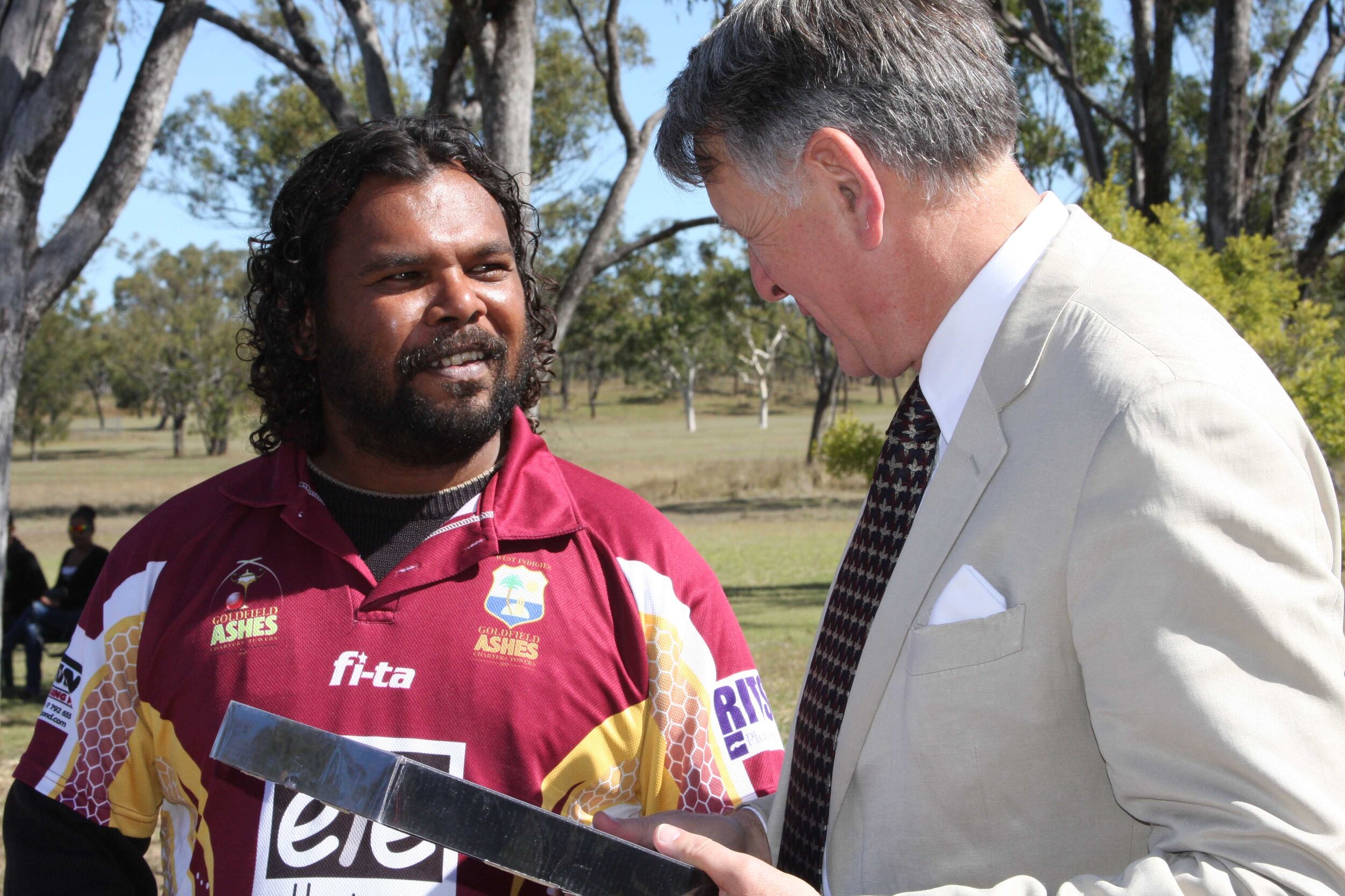
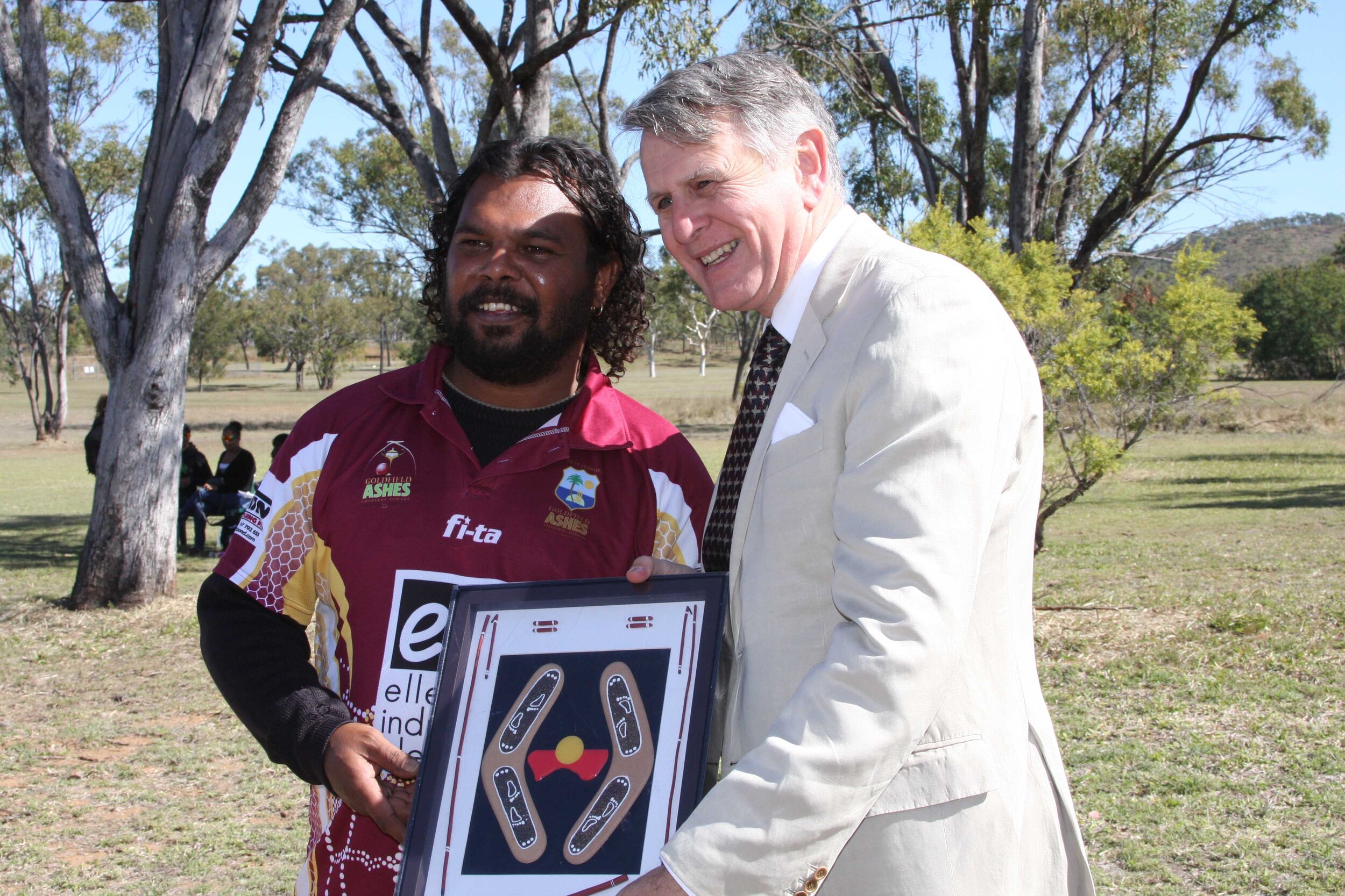
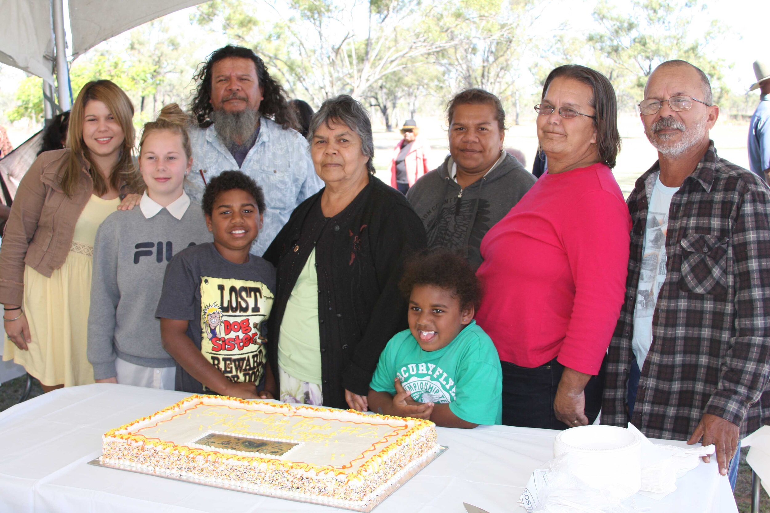
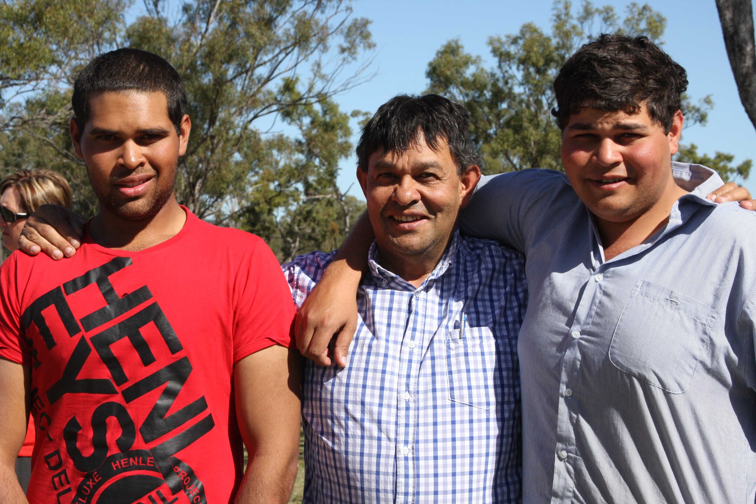
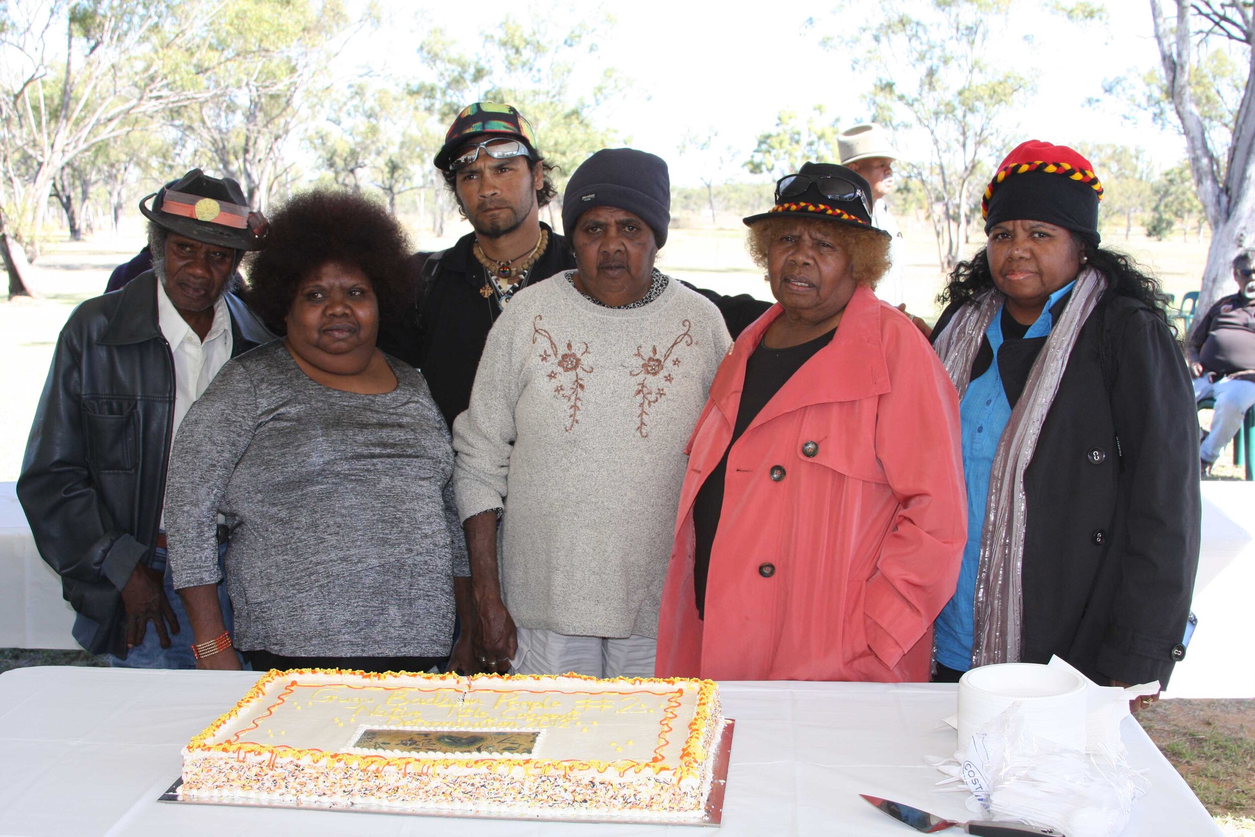
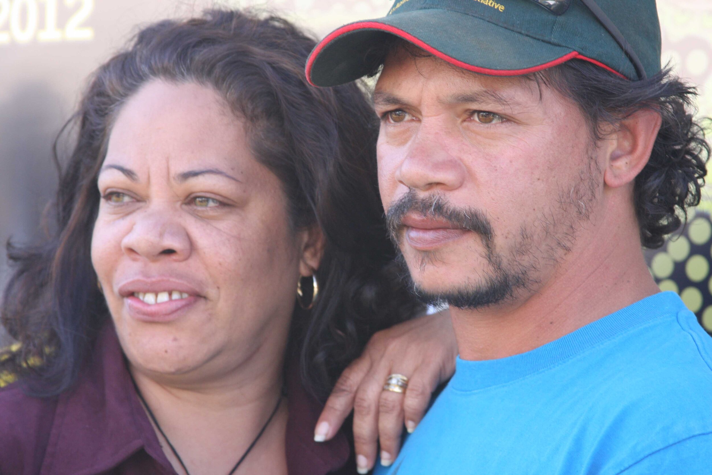
Gugu Badhun Native Title Consent Determination, 1 August 2012, Greenvale Community Hall QLD.
(Pictured: Gugu Badhun Elders, Federal Court Judge, Justice John Logan and Native Title Lawyers)